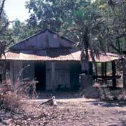
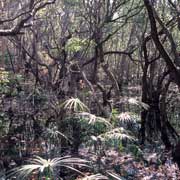
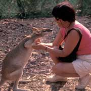
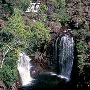
Photos of the Top End of the Northern Territory, Australia
The Top End of the Northern Territory
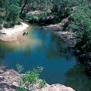
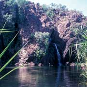
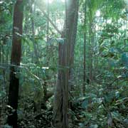
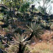
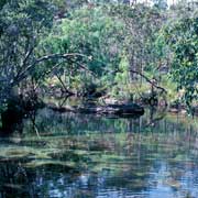
The “Top End of Down Under” is the northern part of the Northern Territory of Australia, lush tropical land with rivers, wetlands and waterfalls. Darwin is the logical starting point; the road driving south leads past Adelaide River, an important place during the Second World War and the site of a War cemetery. Continuing south, the turnoff west leads to Berry Springs and the Territory Wildlife Park, where visitors can enjoy and experience the various habitats of the Top End and get close to its wildlife. A small train can take you around to the different habitats. Continuing this road leads to Batchelor, Litchfield National Park and finishes after 130 kilometres at Mandorah, passing, among others, the Belyuen Aboriginal community (formerly Delissaville).
you may then send it as a postcard if you wish.
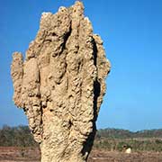
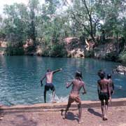
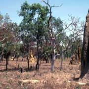
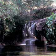
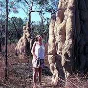
Litchfield National Park, covering approximately 1500 km², is near the township of Batchelor, 100 kilometres southwest of Darwin. There are permanent spring-fed waterfalls and huge termite mounds. Sealed roads allow easy access, but The Lost City and Tjaynera Falls can only be reached with a 4-wheel drive. The township of Batchelor is home to the Batchelor Institute of Indigenous Tertiary Education (formerly known as Batchelor College), providing vocational education and training to Aboriginal and Torres Strait Islander people.
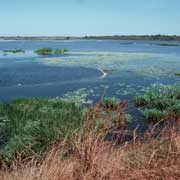
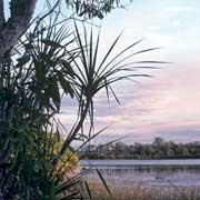
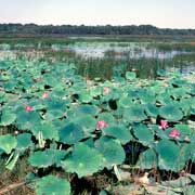
Turning east on the Arnhem Highway, the former rice-growing project at Humpty Doo is reached, and Fogg Dam, which was constructed for that scheme, is now a paradise for the water birds, easily observed here. Further on, there are the wetlands on the way to Kakadu National Park. Huge termite mounds, known as “Magnetic Ant Hills”, stand sentinel everywhere in the landscape; these are called this way as they seem to be orientated in a north-south direction because of the way the termites react to the position of the sun during the day.
