Photos of the Barkly Tablelands, Northern Territory, Australia


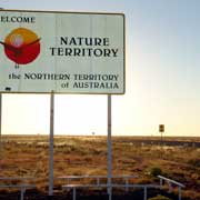
Barkly Tablelands, Northern Territory
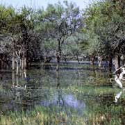
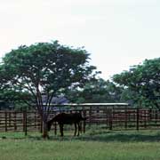
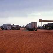
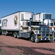
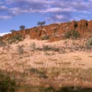
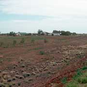
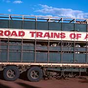
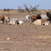
A vast land of cattle stations and bush to the east of the Stuart Highway that bisects the Northern Territory from north to south. It is an empty land, unforgiving, the real outback of stockmen, mostly Aboriginal. But nowadays cattle are no longer transported on the hoof along the endless "stock routes" but travel in huge "Road Trains" to the abattoirs in Katherine.
you may then send it as a postcard if you wish.
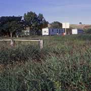

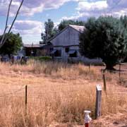
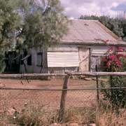
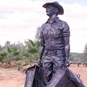
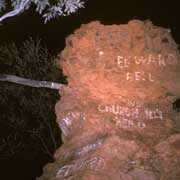
There is the famous Daly Waters Pub, near a former airport, a few kilometres off the Highway, with typical Outback humour and, to keep the past alive, the little (almost ghost-) town of Newcastle Waters maintains its ramshackle buildings and a Drovers memorial as a tribute to the pioneers who tried to make a living here.
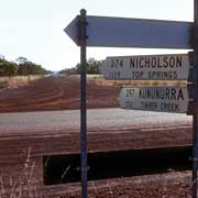
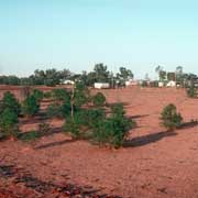
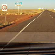
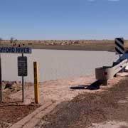
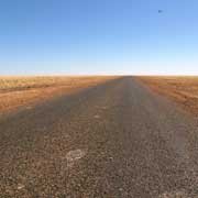
The Barkly Highway leads east from the Threeways Roadhouse to the Queensland border at Camooweal and beyond, to Cloncurry. The Tablelands Highway leads north from the Barkly Homestead Road House to the "Heartbreak Hotel" at Cape Crawford where it joins the Carpentaria Highway 100 kilometres from Borroloola. It is a lonely stretch of road with large cattle stations like Brunette Downs well off the road and for miles not a tree in sight. Parts of it truly look like being "in the middle of nowhere".