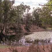
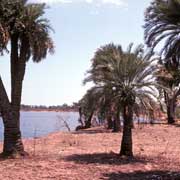
Photos of The southern Gulf of Carpentaria, Northern Territory, Australia


The southern Gulf of Carpentaria, Northern Territory
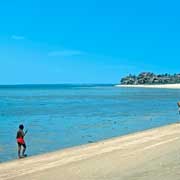
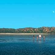
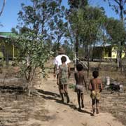
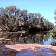
The Gulf of Carpentaria is the large bay shared by the Northern Territory and Queensland with Arnhem Land and Cape York forming its western and eastern shores. Large stretches of these shores are Aboriginal lands, including the islands: Groote Eylandt opposite the Arnhem Land coast, Mornington Island in the south east off the Queensland coast and the islands in the Sir Edward Pellew group near the mouth of the Macarthur River. The Sir Edward Pellew group and the shores from Bing Bong in the west to Manangoora in the east on the Wearyan river belong to the Yanyuwa people, most of whom now live in the town of Borroloola; from the 1950s they were forced off their lands by government and mission groups.
you may then send it as a postcard if you wish.
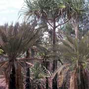
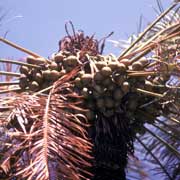
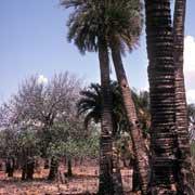
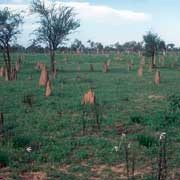
Manangoora is a small station and has stands of Cycad palms, among the oldest kind of trees on earth. Their nuts were important as a food source for Aborigines; however, in its raw state the nuts are very poisonous, containing cyanide. The nuts were pounded to a flour and this had to be soaked in water before it could be used to be baked to a damper in the hot coals of a fire. East of Managoora the traditional lands of the Karawa (or Garawa) start, centred on the Robinson River but most Karawa nowadays live in Borroloola, on the opposite side of the Macarthur River from the Yanyuwa.
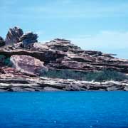
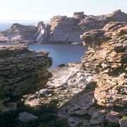
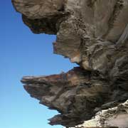
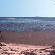
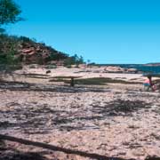
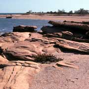
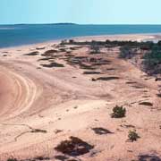
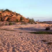
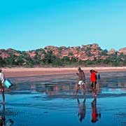
The Yanyuwa people call themselves "Li-antha wirriyara", People of the Salt Water, and their heartland are the islands of the Sir Edward Pellew Group, a cluster of barren sandstone islands with a total area of 2,100 km². Vanderlin Island is the largest and easternmost, 32 kilometres from north to south and a width of 13 kilometres. The Dutch navigator Abel Tasman reached the island in 1644 and named it Cape Vanderlin, thinking it was part of the mainland. In 1802 the explorer Matthew Flinders named the group after Captain Edward Pellew of the Royal Navy. Land claims are still running over these islands, but Vanderlin island is safely established as Wurralibi Aboriginal Land. West Island too is now officially handed back. North Island contains Barranyi National Park. The other islands, South West, Centre and tiny Black and White Craggy are regularly visited by the Yanyuwa people, as is Kangaroo Island, in the Macarthur River delta. Although people camp here during dugong- and turtle hunting trips, no Yanyuwa live permanently on the islands anymore.