Photos of the North Queensland Coast - from Babinda to Townsville, Australia


North Queensland Coast - from Babinda to Townsville
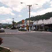
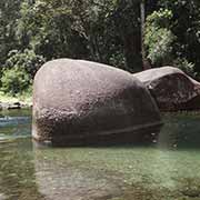
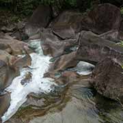
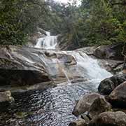
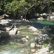
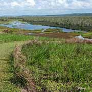
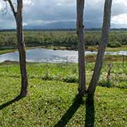
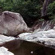
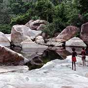
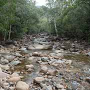
The town of Babinda, 35 kilometres south of Gordonvale, was settled as far back as 1880; it used to have a sugar mill, but that was closed in 2011. Mount Bartle Frere, Queensland’s highest mountain at 1,622 metres, looms behind it. Babinda Creek comes down from this mountain and flows through the Boulders Wilderness Reserve, 6.5 kilometres from the town. The constant high volume of water has weathered the Babinda Boulders. And a 21-kilometre drive from Babinda leads to Bramston Beach, with its Pacific Park picnic area and a caravan park and campground. Between here and the highway is Eubenangee Swamp, a National Park; it is a lowland gallery rainforest combined with freshwater wetlands, an essential habitat for many birds.
you may then send it as a postcard if you wish.

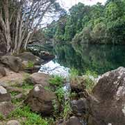
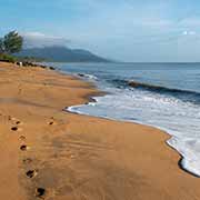
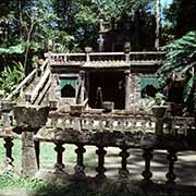
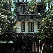
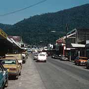

Innisfail is 26 kilometres south of Babinda, a town at the junction of the South and North Johnstone rivers, surrounded by banana farms and sugarcane plantations. The road along the Johnstone River to Flying Fish Point continues north through rainforest stands to Ella Bay, a seemingly endless golden beach and National Park. And about 15 kilometres southwest of Innisfail, on Mena Creek, is the curious Paronella Park, a Spanish-style castle in the rainforest, built in the 1930s by a Catalan immigrant, Jose Paronella. Although now weathered and covered in moss, it can be visited and offers walks through bamboo stands and views of the creek. There is a tea house in the old castle too.
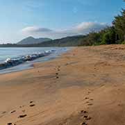
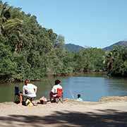
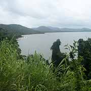
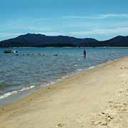
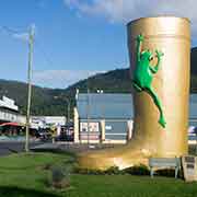
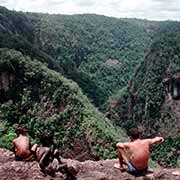
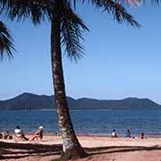
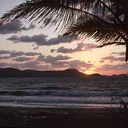
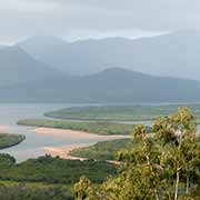
It is 160 kilometres from Innisfail to Townsville along the Bruce Highway, and there are beautiful beaches and great views on the way. The Cassowary Coast is the stretch of coastline, roughly between Innisfail and Cardwell. Halfway between Innisfail and Tully is the turnoff to Kurrimine Beach, a quiet fishing and holiday village with a significant reef flat, King Reef, adjacent to the shore. The Mission Beach area is not far south of here, a string of holiday resorts from Garners Beach to South Mission Beach. Offshore is Dunk Island, reachable by regular ferries and water taxis. The Kennedy Track leads to the mouth of the Hull River, 4 kilometres south of South Mission Beach. And along the road leading back to the main road to Tully is the Licuala State Forest with large Licuala ramsayi, the Fan palm, native to Queensland. The small town of Tully, set among sugar cane fields and banana plantations, is one of the wettest towns of Australia, with an annual average rainfall of 4,200 mm. It was established in the 1870s and developed when a sugar mill was constructed in the 1920s. The Tully River is nowadays the scene of white water rafting where it leads out of spectacular Tully Gorge. A road leads up to Tully Gorge National park, with great views on the way. Forty-three kilometres south of Tully is the town of Cardwell, from where regular ferries and tours depart to Hinchinbrook Island, a 35 kilometres long island separated by the Hinchinbrook Channel from the mainland.
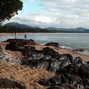
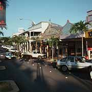
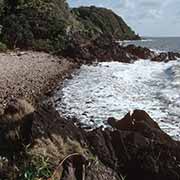
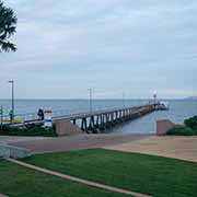
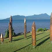
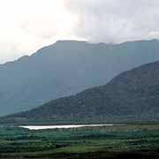
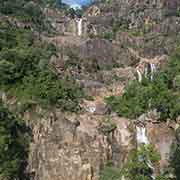
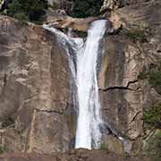
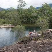
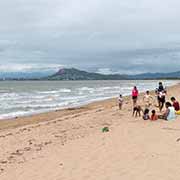
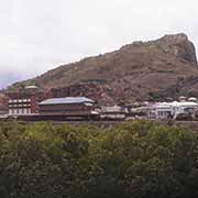
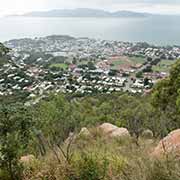
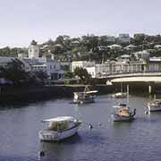
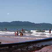
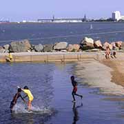
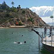
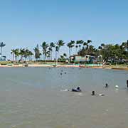
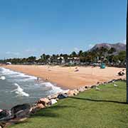
Continuing south, past the town of Ingham, is Paluma Range National Park centred on the mountain village of Paluma, at an elevation of 900 metres. Jarama Falls is one of the beauty spots here, with great views and rock pools with huge boulders. Finally, 110 kilometres south of Ingham is Townsville, the commercial and industrial “capital” of Tropical North Queensland, a city of almost 200,000, overlooked by 286-metre high Castle Hill. The Strand is the long esplanade along the Pacific Ocean, with a long, inviting beach; however, as everywhere along the coast, swimming is safest in the “stinger” enclosures, offering protection from the box jellyfish; safer still, is the Rockpool.