Photos of Cape York Peninsula, Far North Queensland, Australia


Cape York Peninsula, Far North Queensland
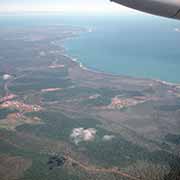
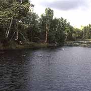
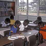
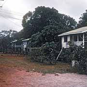
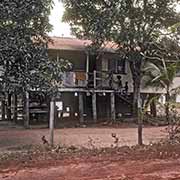
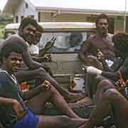
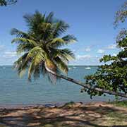
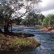
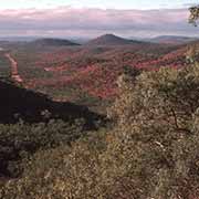
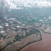
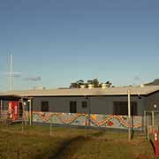
Cape York Peninsula, pointing up to the Torres Strait Islands in Far North Queensland, is the largest unspoilt wilderness in eastern Australia. However, about half of the area of the mostly flat land is used for grazing cattle. The west coast borders the Gulf of Carpentaria, with several towns and Aboriginal communities; the largest town is Weipa, with its bauxite mine. The east coast borders the Coral Sea, with Cooktown and nearby Hope Vale, an Aboriginal community on Cape York Peninsula, 46 kilometres northwest of Cooktown by road. It is home to several clan groups whose traditional language is mostly Guugu Yimidhirr.
you may then send it as a postcard if you wish.
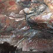

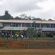
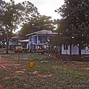
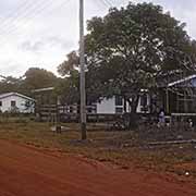
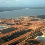

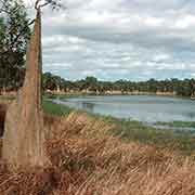
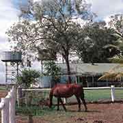
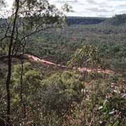
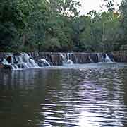
The Peninsula Development Road up the peninsula climbs over the Great Dividing Range, leading past the town of Laura with its yearly Aboriginal Festival and its nearby Split Rock Gallery with its Aboriginal paintings. North of here is Lakefield National Park, with its huge termite mounds and reminders of its pioneer past when the local Aborigines killed the explorer Kennedy; a river is called after him. There are now large cattle stations on Cape York peninsula, but most remains unspoiled bushland, with small Aboriginal communities. It is 240 kilometres from Laura along a dusty road to Coen, a wild gold mining town in the late 1870s and now a small service town for the surrounding Aboriginal communities and cattle stations. One hundred fourteen kilometres further on is the turnoff to the bauxite mining town of Weipa, 145 kilometres further on the west coast.
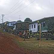
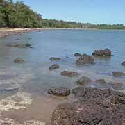
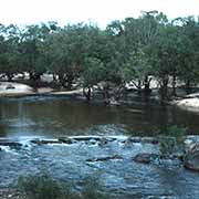
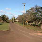
The Telegraph Road continues further north, four-wheel-drive only. The first obstacle to cross was the Wenlock River (there is a bridge here now), and there are many more crossings with the most formidable: the Jardine River, where there is a ferry. Eventually, 324 kilometres from the turnoff to Weipa is Bamaga, Australia’s most northerly mainland township. Most residents are Torres Strait Islanders, descendants of Saibai Islanders, led by a man named Bamaga Ginau, who resettled here after their island was devastated by a tidal wave. The reserve that was established took Bamaga’s name. Nearby on the coast are the small settlements of Injinoo, Umagico and Seisia, from where there is a ferry service to Thursday Island. Just off the northwestern tip of Cape York is tiny Possession Island, where Captain James Cook raised the flag on 22 August 1770 and claimed the east coast of Australia for England. The Aboriginal people, of course, were not consulted and remained unaware of their distant ruler for a long time after this.