Photos of The Atherton Tablelands, Far North Queensland, Australia


The Atherton Tablelands, Far North Queensland
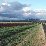
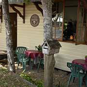
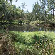
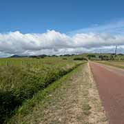
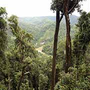
The Atherton Tablelands may be a welcome relief from the coast’s heat and offer great views, cool waterfalls and typical pubs, among other things. The area around the town of Atherton is named after a pastoralist, prospector and pioneer. Settlement here dates from the late 19th century. The extensive forests growing here were almost all cut down, and it is now mainly a farming district. However, there is still a lot of natural beauty here.
you may then send it as a postcard if you wish.


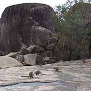
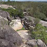
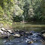


About 31 kilometres south of the rainforest village of Kuranda in the Dindin State Forest are the Davies Creek Falls, and about 45 kilometres from Kuranda, along the Kennedy Highway, is Mareeba, the largest town on the Northern Tablelands. Around 20 kilometres to the southeast of Mareeba is the small privately-owned Granite Gorge National Park. It is a pleasant place of immense granite boulders with a river flowing through, swimming holes and a colony of rock wallabies, who are well used to human visitors and come up in the hope of a feed.
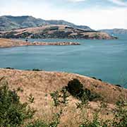
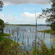
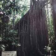
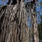
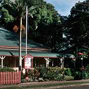
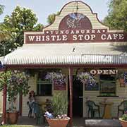
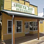
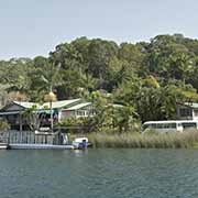
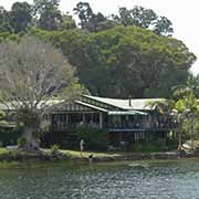
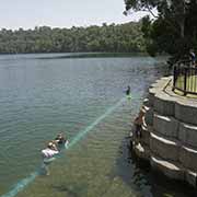
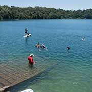
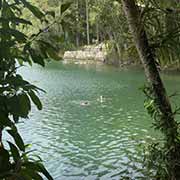
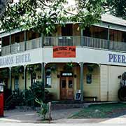
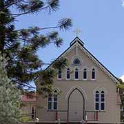
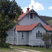
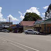
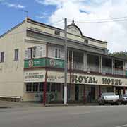
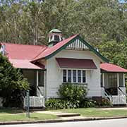
Further south, near the town of Atherton, founded in the early 1880s, and a service town of the rural district around it, is Lake Tinaroo, an artificial lake behind a dam on the Barron River. The village of Yungaburra on the southern point of the lake is also a very picturesque place, a centre of arts and crafts. Its Lake Eacham Hotel is an excellent example of Queensland wood architecture, as is its Village Chapel. Nearby is the massive Curtain Fig Tree, with its aerial roots dropping 15 metres to the ground like a curtain. There are more historic pubs, like the Peeramon Hotel, near Crater lakes National Park. Lake Barrine, the largest crater lake, has a famous Tea House, and Lake Eacham is a popular swimming spot.
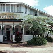
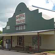
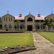
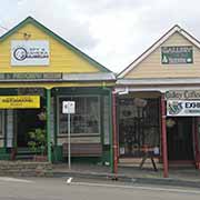
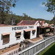
On 20 April 1880, tin was discovered in the southern region of the Atherton Tablelands, and the town of Herberton, at an altitude of 899 metres above sea level, rose here as a result. In August that year, 70 men were working in the tin fields, and in December, their number had grown to 300. Herberton has some magnificent wooden buildings built in the first decade of the town’s existence, and there is even a steam train that runs from Atherton carrying tourists. The Historic Village Herberton, with its meticulously constructed shops, offers a wonderful insight into life in the early 20th century.
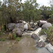
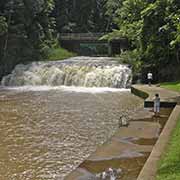
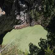
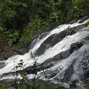
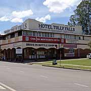
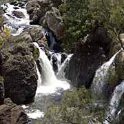
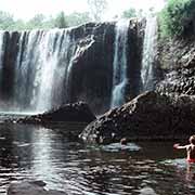
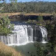
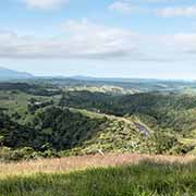
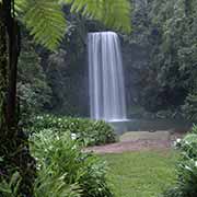
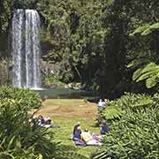
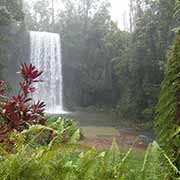
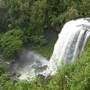
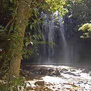
There are many waterfalls to be seen on the southern Tablelands. The Millaa Millaa Falls are easily accessible near the small but picturesque town of the same name; a “waterfall circuit” can take in two more falls in a lush tropical setting. And 26 kilometres southwest of Millaa Millaa is Ravenshoe, at 950 metres above sea level, Queensland’s highest town on the Great Dividing Range, where the vegetation changes from the rain forests in the east to the eucalypt woodlands further west. Millstream Falls on the Herberton River is Australia’s widest waterfall, with Little Millstream Falls nearby. To the southeast of Herberton, a unique sight is the Mount Hypipamee Crater, a vast diatreme, a volcanic pipe formed by a gaseous explosion, 61 metres in diameter and 82 metres deep. Dinner Falls is just next to it.