Photos of Ulithi Atoll, Yap State, Micronesia

Ulithi Atoll
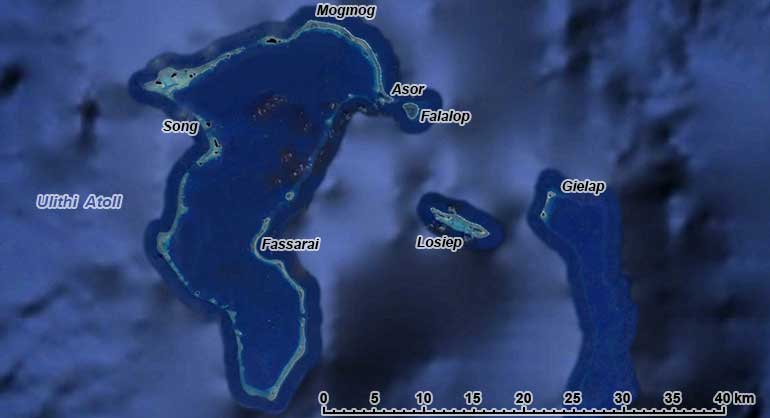
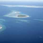
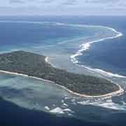
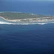
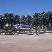
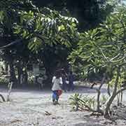
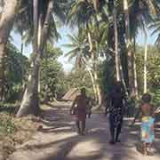
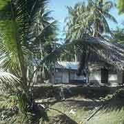
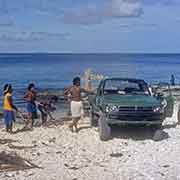
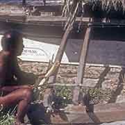
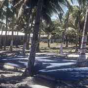
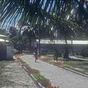
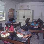
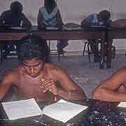
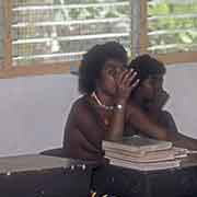
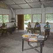
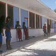
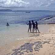
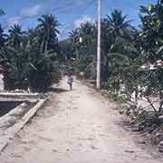
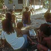
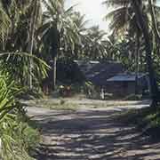
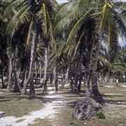
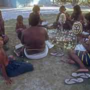
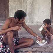
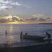
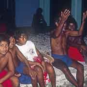
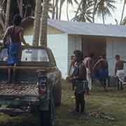
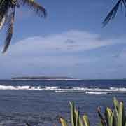
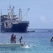
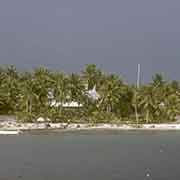
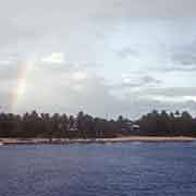
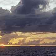
Ulithi Atoll is about 180 kilometres east of Yap and the highest-ranking of the outer islands in the complex Yapese caste system. The northernmost island, Mogmog (Mwagmwog in the Ulithian language) is the seat of the High Chief of the atoll. The other inhabited islands of the atoll, with their own chiefs, are Asor (Yasor), Falalop (Fl’ aalop) and Fassarai (Fedraey). Falalop, meaning “big island”, at the northeastern edge of Ulithi Atoll, has the main settlement, with an airport (originally built during the Second World War by the Japanese), store, a high school and a resort hotel, offering good diving on the coral reefs.
To see a photo full size, just click on it;
you may then send it as a postcard if you wish.
you may then send it as a postcard if you wish.