Photos of along the Eyre and Flinders Highway, South Australia


Along the Eyre and Flinders Highway, South Australia
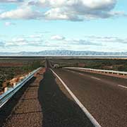
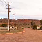
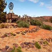
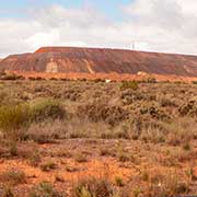
The Eyre Highway, part of National Highway A1, is the sealed road linking South Australia with Western Australia - almost 1670 kilometres from Port Augusta to the WA border and Norseman. It crosses the Eyre Peninsula with the Iron Knob Mines, the first commercial iron ore mine in Australia; it started in 1880 and closed in 1998, and some parts have recently reopened.
you may then send it as a postcard if you wish.
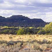
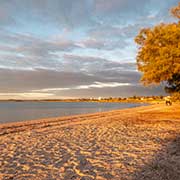
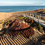
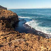
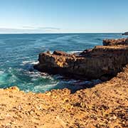
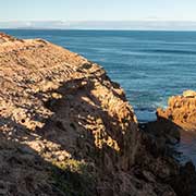
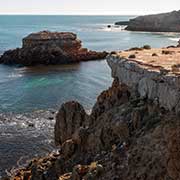
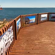
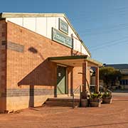
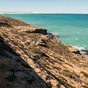
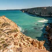
On the west coast of Eyre Peninsula is the picturesque township of Streaky Bay, on the Great Australian Bight. It is actually on the Flinders Highway, which follows the west coast of the Eyre Peninsula from Port Lincoln to Ceduna. There are good views of the rugged coast on the peninsula northwest of the town. Following the coast, about 72 kilometres northwest of Streaky Bay, is Smoky Bay, previously a port and now a village with a little over 200 inhabitants. The explorer Matthew Flinders gave the name for the smoke of the cooking fires of the local Aborigines over the bay.
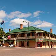
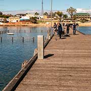
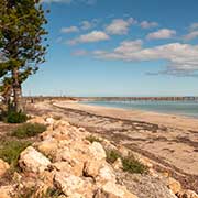
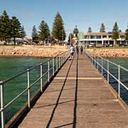
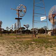
Ceduna is the next town, on the shores of Murat Bay and west of the junction of the Flinders and Eyre Highways. It has sandy coves, bays, and sheltered islands and is a popular tourist town. It is the last major settlement before crossing the Nullarbor Plain to the west. The small village of Penong has the unique Windmill Museum, with, among others, the “Comet”, the largest windmill in Australia.
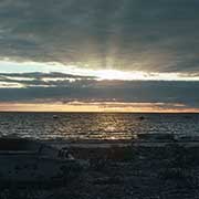
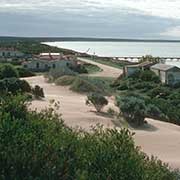
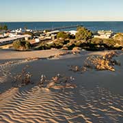
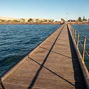
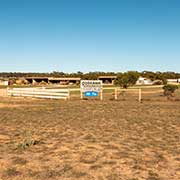
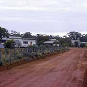
Fowlers Bay, a small town on Port Eyre at the western end of the larger Fowlers Bay, was also once an active port and a gateway to the western reaches of the continent but fell into decline in the 1960s. It has a very high sand dune behind it. Formerly named Yalata, this is also the name of the Aboriginal Community, 200 kilometres west of Ceduna and situated on the Far West Coast of South Australia, with a transient population of around 350, mainly Pitjantatjara-speaking people.
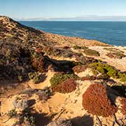
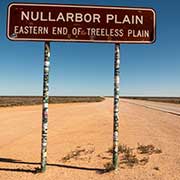
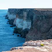
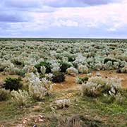
The start of the Nullarbor Plain is not far west, along the Eyre Highway. It is an area of flat, almost treeless, arid or semi-arid country between the Great Australian Bight coast and the Great Victoria Desert to its north, with a coastline of high cliffs. It is the world’s most extensive single exposure of limestone bedrock. It occupies an area of about 200,000 km², a National Park, the Nullarbor Wilderness Protected Area, all the way to Western Australia.