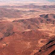
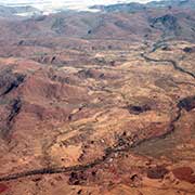
Photos of Aṉangu Pitjantjatjara Yankunytjatjara Lands, Aboriginal Lands in the far north of South Australia


Aboriginal Lands, the far north of South Australia
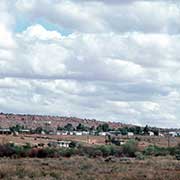
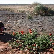
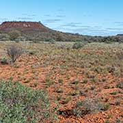
The northern part of South Australia is a continuation of the arid plains and hills of the Northern Territory. The Anangu (Aboriginal) people, Pitjantjatjara, Yankunytjatjara, are also related to the people across the state border, in the region of Uluru, or Ayers Rock. They inhabit small communities in the Aṉangu Pitjantjatjara Yankunytjatjara (APY) Lands, a 103,000 km² sparsely-populated local government area for Aboriginal people, located in the remote northwest of the state.
you may then send it as a postcard if you wish.
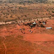


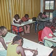
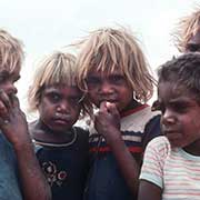
The Pitjantjatjara, Yankunytjatjara, and Ngaanyatjarra peoples have inhabited these lands for thousands of years. They belong to the Western Desert group of peoples, occupying a vast area of Central Australia. Because of the remoteness, these people were undisturbed by white colonisation, and in 1921, the South Australian Government proclaimed the Northwest Aboriginal Reserve: it consisted of most of what is now known as the APY Lands. In 1937, the Presbyterian Church established a mission on these lands, called Ernabella, with enlightened practices that maintained the Pitjantjatjara language at the school and church services; it was handed over to the community in 1974 and is now called Pukatja.
After 1961, other communities were established to prevent overcrowding at Ernabella: Musgrave Park (now Amata) and Fregon (now Kaltjiti). In 1968, the South Australian Government established Indulkana (also known as Iwantja) as a base for services to Aboriginal people living in camps on pastoral leases in that area. In 1972, the South Australian government purchased Everard Park cattle station from the white owners. It was transferred to the traditional Pitjantjatjara owners, who renamed it Mimili, its original name. It is about 70 kilometres west of the Stuart Highway, linking the Northern Territory with South Australia.