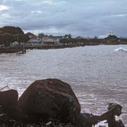
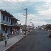
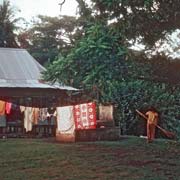
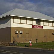
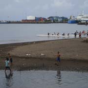
Photos of Apia, Samoa's capital city


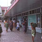
Apia, Samoa's capital city
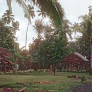
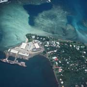
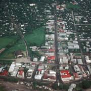
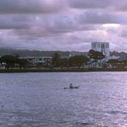
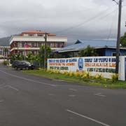
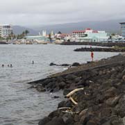
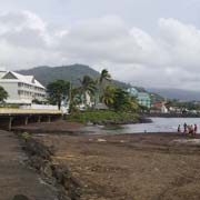
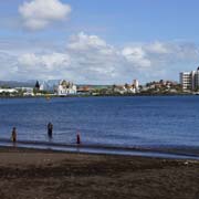
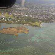
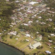
Located on the central north coast of the island of Upolu, Apia is the capital and largest city of Samoa, with around 38,000 inhabitants in its urban area. Originally a small village, urban Apia has absorbed about 45 individual villages and spreads from Vaitele village in the west to Letogo village in the east. The actual Apia village is a small village between the mouth of the Mulivai river on the west and the Vaisigano river in the east, the downtown region.
you may then send it as a postcard if you wish.
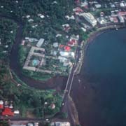


Apia was founded as a capital in the 1850s. Its harbour at the mouth of the Vaisigano River was the scene where, during a standoff between Germany, the United States and the United Kingdom about their claims to the Samoan islands, six of their war ships ships were sunk during a severe cyclone on 15 March 1889; they shortly after agreed to divide Samoa between the Germans and the Americans!
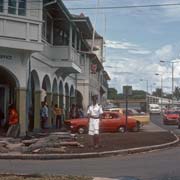
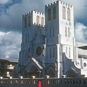
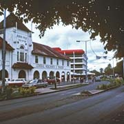
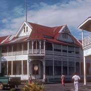
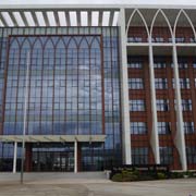
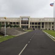
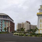
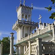
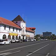
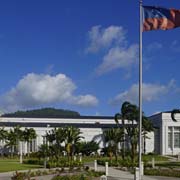
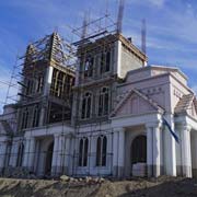
On the Mulivai side on Beach Road stood the large Catholic Immaculate Conception of Mary Cathedral, its two towers a welcome sight coming into the harbour; it has been demolished in 2011, as it had sustained structural damage during the same earthquake that caused the tsunami in the south and a new one has now been built. Further west, near the refurbished clock tower, erected as a memorial of the First World War, is an area of reclaimed land in front of where the bus station used to be; the huge 8-story Government Building, named after Samoa's first Prime Minister Fiame Matā'afa Faumuina Mulinu'u II was built in 1994 with an interest-free loan of 35 million Samoan Dollars from China and next to it is the 7-story Central Bank of Samoa, looking rather out of place compared to the old wooden colonial buildings remaining in town. The new SNPF Molesi shopping mall was opened in 2013 and another huge Chinese financed building is the six story Tui Atua Tupua Tamasese Efi Complex, opened in 2011 to house ten different government ministries and corporations, all changing the skyline of what is still a relaxed town.
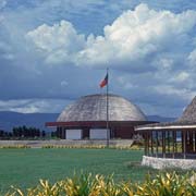
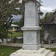
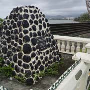
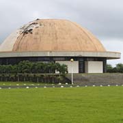
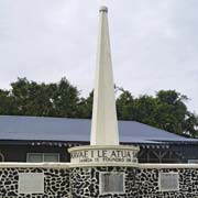
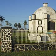
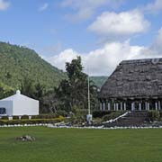
The old ceremonial capital of Mulinu'u lies on a peninsula at the western end of the city where the "Maoto Fono", the Parliament house stands, a round structure, whose roof was severely damaged by Cyclone Evan in 2012; this will be restored. Near there is the new Courts complex, opened in 2010 and housing the district, supreme, and land & titles courts. Here can also the Independence monument be found, erected in 1972, proclaiming the motto "Samoa is founded on God" and, nearby, the monument at the site where on 1 March 1900 the German flag was hoisted.