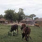
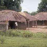
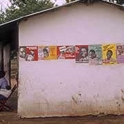
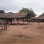
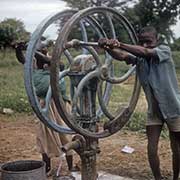
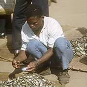
Photos of the south of Malawi


The south of Malawi
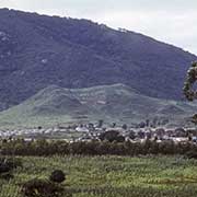
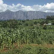
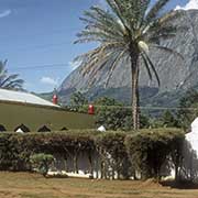
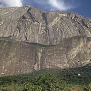
Malawi’s Southern Region, centred around Blantyre, is the most populated and economically developed. The Lower Shire Valley, broad and flat in the extreme south, is the lowest point in the country, but over 100 kilometres from there is Malawi’s highest peak, Mount Mulanje, over 3000 metres -the highest mountain in central Africa.
you may then send it as a postcard if you wish.
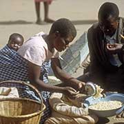
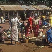
Mwanza, on the western border with Mozambique, is a market town for local produce. Chikwawa, on the west bank of the Shire River, was the first town in Malawi to be seen by European explorers; when visited during David Livingstone’s second Zambesi expedition in March 1859, it was known as Chibisa’s village.
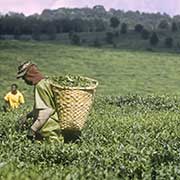
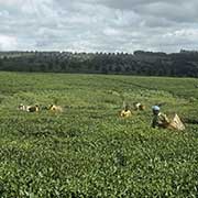
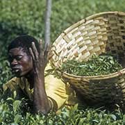
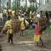
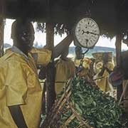
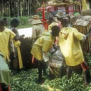
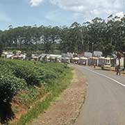
Thyolo is a town 44 kilometres south of Blantyre, near the Thyolo Tea Estates. Tea has grown here since 1908. The estates may be visited, and there are plenty of opportunities for walks and hikes around the scenic estate.