Photos of Blantyre to Lilongwe, Malawi


Blantyre to Lilongwe
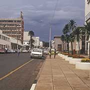
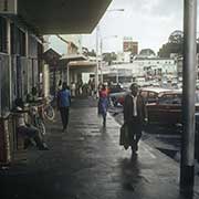
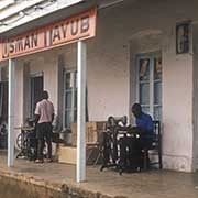
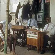
Blantyre, Malawi’s commercial capital, was established by the British in 1876 as a small trading settlement and mission station of the Church of Scotland, named after the birthplace of the Scottish missionary and explorer David Livingstone. It is now Malawi’s second-largest city and the capital of the country’s Southern Region. Eleven kilometres east of Blantyre’s city centre is Limbe, founded in 1909 and, since 1956, basically a neighbourhood of Blantyre.
you may then send it as a postcard if you wish.
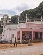
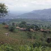
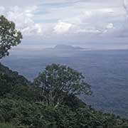
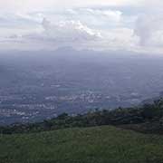
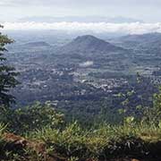
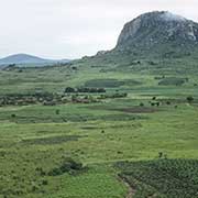
Zomba, in the Shire Highlands 70 kilometres northeast of Blantyre, was the capital of the first British Central Africa, then Nyasaland Protectorate, and the first capital of independent Malawi from 1964 until 1974. It has historical buildings from British colonial days, but its main attraction is the Zomba Plateau, which offers hiking and rock climbing; its highest point is 2,087 metres.
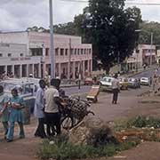
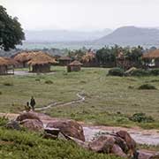
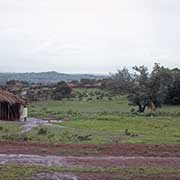
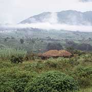
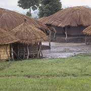
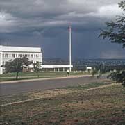
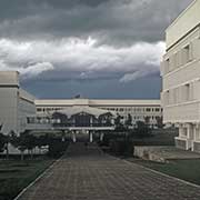
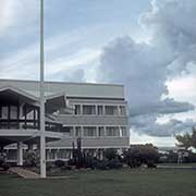
The road from Zomba to Lilongwe, Malawi’s capital city in the country’s Central Region, skirts the border with Mozambique between Ncheu and Dedza. Lilongwe was a trading post and was only recognised as a town in 1947; it is now Malawi’s largest city, with a population of over a million. It is near the borders of Mozambique and Zambia, and it is an important economic and transportation hub for central Malawi.