Photos of The Isle of Capri, Italy


The Isle of Capri
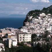
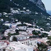
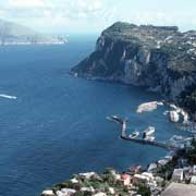
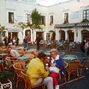
In the Tyrrhenian Sea at the entrance of the Gulf of Naples, Capri is a favourite tourist destination. The island, covering about ten km², rises to 590 metres on Mount Solaro. The main town, also named Capri, lies in the eastern part of the island; In the west is the village of Anacapri, rising to 225 metres above sea level with vineyards and where olives and fruit are grown.
you may then send it as a postcard if you wish.
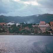
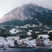
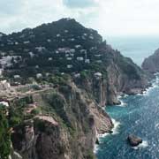
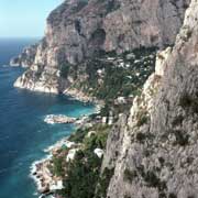
The Isle of Capri has spectacular scenery, including the famous Blue Grotto, a cave filled with sapphire-blue colouring when the sun shines through its waters. And it’s not only now the island is popular: the Roman emperors Augustus (who turned the island into his private estate) and Tiberius built splendid villas on Capri.
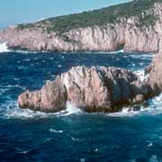
The island has many sights: the Marina Piccola (the little harbour) and the Belvedere of Tragara (a high panoramic promenade lined with villas). Faraglioni, limestone sea stacks, rise out of the sea. The village of Anacapri, the Blue Grotto (Grotta Azzurra), and the ruins of the Imperial Roman villas are also worth seeing.