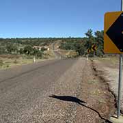
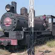
Photos of the Flinders and Barkly Highway - frpm Charters Towers to Camooweal, Australia


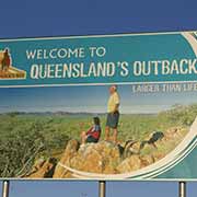
The Flinders and Barkly Highway - Charters Towers to Camooweal
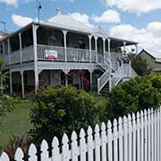
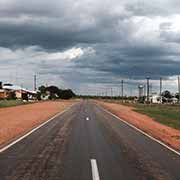
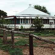
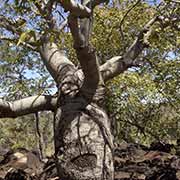
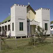
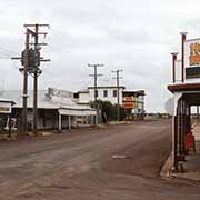
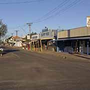
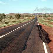
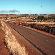
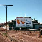
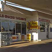
The Flinders Highway is the long road that crosses Queensland from east to west, from Townsville on the Pacific coast to Cloncurry, and then, as the Barkly Highway, to the border with the Northern Territory near Camooweal, a small village with a Road House. It passes several small outback towns with their typical wooden “Queenslander” homes, built for the climate with large breezy verandas.
you may then send it as a postcard if you wish.
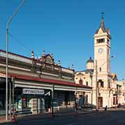
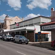
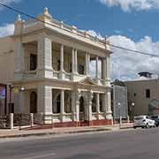
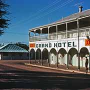
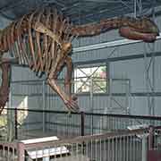
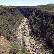
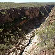

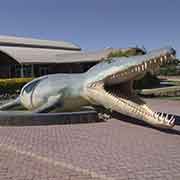
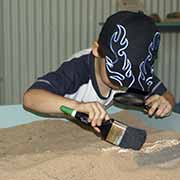
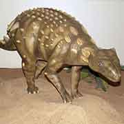
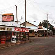
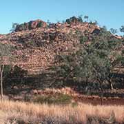
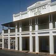
Coming from Townsville, the first stop is Charters Towers, 133 kilometres to the southwest; now the centre of cattle farming and fruit growing, this was a gold rush town with a population of 30,000 in 1890. Much of its elegant architecture remains. Two hundred forty-three kilometres further on, in the heart of sheep and cattle country, is Hughenden, the administrative centre of Flinders Shire. Numerous fossil finds have been found around here. A replica of the skeleton of Muttaburrasaurus Langdoni is displayed here; it is a dinosaur whose bones were discovered in 1963 near the small town of Muttaburra, 210 kilometres south of Hughenden in the geographical centre of Queensland. It lived between 100 and 98 million years ago during the Early Cretaceous Period. A life-size model, named “Mutt”, stands in front of the (now, sadly, burnt down) Grand Hotel. The Museum of Tropical Queensland donated it to recognise the numerous dinosaur fossils that have been taken away from the area. It was unveiled on 4 December 1999. About 60 kilometres north of Hughenden, along the Kennedy Development Road, is Porcupine Gorge National Park, the traditional homeland of the Yirendali people. It has a canyon, a clear, flowing creek, towering cliffs of vibrantly coloured sandstone, and comparatively dense vegetation. Porcupine Gorge provides a striking contrast to the sparsely wooded, dry, flat plains surrounding it.
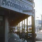
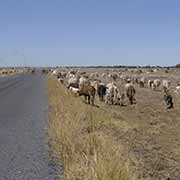
Richmond, 112 kilometres further west, was established in 1860 and was briefly a gold rush town; it is a pastoral centre now, as is Julia Creek, 147 kilometres further west again. Now a busy cattle trucking centre, pastoralists came into this area as far back as 1862, only one year after Burke and Wills’s famous explorers had passed through here. Cloncurry is 139 kilometres west of Julia Creek. Rich copper deposits were discovered here in 1867, and Cloncurry was a mining town until it declined in the early twenties. The first regular Qantas flights started between here and Charleville in 1922. Royal Flying Doctor Service began here in 1928. It is nowadays an important road and rail junction. The mining town of Mary Kathleen, 60 kilometres west and now wholly dismantled, lives on in an exposition in Cloncurry.
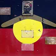
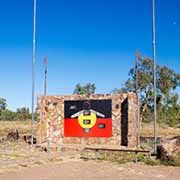
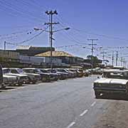
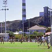
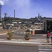
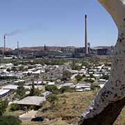
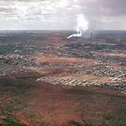
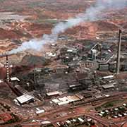
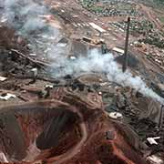
Mount Isa is 117 kilometres west of Cloncurry on the Barkly Highway; it is, as far as area is concerned, considered Australia largest town (although most of it is empty bush). Silver, lead, and copper deposits were discovered here in 1923. The Mount Isa Mines Company dominated mining here two years later and developed the town. In 1929 the railway to Townsville was completed. In 1942 the mining of copper was begun. There is now a major mineral processing plant here apart from the mine. Visitors may go deep down with a pick-up truck in the large elevator and driven around in the huge tunnels underground. The original people in the area, the Kalkadunga (Kalkadoon), resisted the encroachment of the whites late 19th century fiercely. There is a monument along the road to the east of Mount Isa.