Photos of the Southeast of Queensland, Australia


The Southeast of Queensland
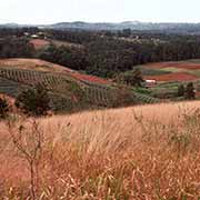
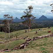
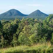
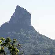
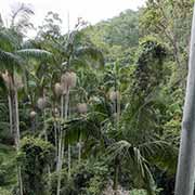
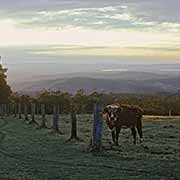
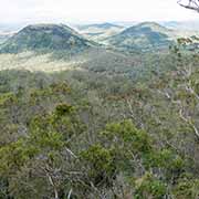
Nambour is the centre of the sugar industry, inland from the Sunshine Coast, and various tropical fruits are grown here. About 40 kilometres south from there are the Glasshouse Mountains, once the homeland of the Gubbi Gubbi people, that were named by Captain James Cook in 1770, as they reminded him of the glass furnaces back in England. They are a striking sight, the remnants of enormous lava cores formed in the vents of volcanoes, now long extinct. Erosion over 20 million years have given them the shape we see today.
you may then send it as a postcard if you wish.
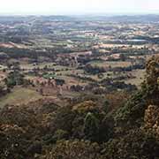
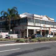
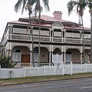
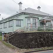
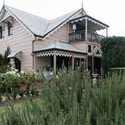

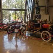
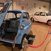
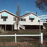
Heading inland, after about 100 kilometres via Kilkoy, the town of Esk is reached, along the Brisbane Valley Highway. It is about 65 kilometres to Ipswich, a city renowned for its architectural, natural and cultural heritage, around 40 kilometres west of Brisbane. There are heritage-listed historical buildings along Brisbane Street and many great classic wooden houses. In the hills south of Brisbane, the hinterland of the Gold Coast, are several conservation parks and forest reserves, like the Tamborine National Park; The Tamborine Rainforest Skywalk offers excellent views. Nearby is the Gold Coast Motor Museum, a fantastic collection of cars and motorbikes spanning 1900 to 1988.
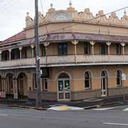
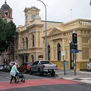
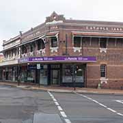
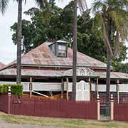
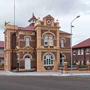
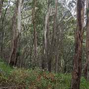
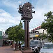
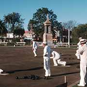
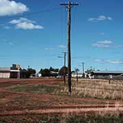
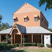
Toowoomba is a city in the Darling Downs region of southern Queensland, about 90 kilometres west of Ipswich. Traditionally the lands of the Gimbal and Jarowair people, Toowoomba is now, after Canberra, Australia’s second-most populous inland city. There are great views at Picnic Point, in the Rangeville suburb. In the hills along the Condamine River, the town of Warwick, 80 kilometres south of Toowoomba along the New England Highway, was established in 1840 as the first settlement of free men in Queensland inland of the Bundjalung people. It has impressive stone buildings and an active Lawn Bowls club, as in most other Australian towns. From Toowoomba, 125 kilometres west of Brisbane, the Warrego Highway leads northwest into the Queensland outback, in the traditional lands of the Barunggam and Mandandanji peoples, past small towns and villages where the wooden “Queenslander” houses can still be seen, until 350 kilometres from Toowoomba, Roma is reached. This town serves an agricultural region and gas field. It was named in 1862 by Sir George Brown, the Governor of Queensland, after his wife, Countess Diamantina Georgina Roma.
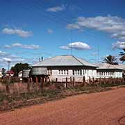
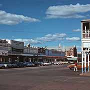
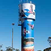
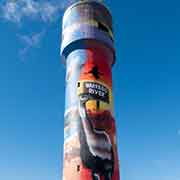
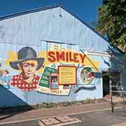
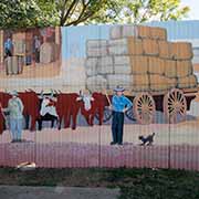
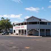
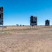
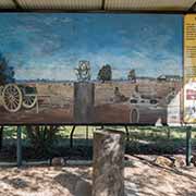
From Roma, it is 267 kilometres west along the Warrego Highway to Charleville, a rural town on the banks of the Warrego River in the land of the Bidjara people. From here, it is 84 kilometres north, along the Mitchell Highway, to Augathella. Originally called Brenda, there are great murals along the main street, created by locals, and the water tower is covered with beautiful artwork. Heading 220 kilometres further north along the Landsborough Highway, the town of Blackall is reached. In its heyday, it was the centre of the wool trade. It is the home of the “Black Stump”, a tree stump used for surveying purposes. A display permanently marks the original Astro Station established in 1887. Anything west of this point was said to be “beyond the black stump”, a country that was then considered too remote or uncivilised, marking the limits of established (European) settlement. From Blackall, it is another 107 kilometres to Barcaldine on the Capricorn Highway.