Photos of the Gulf Region of Far North Queensland, Australia


The Gulf Region of Far North Queensland
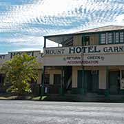
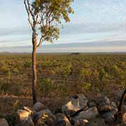
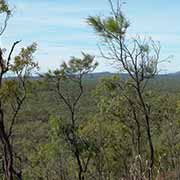
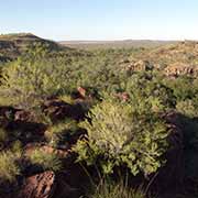
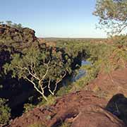
The Gulf Region is the real remote Outback, skirting the Gulf of Carpentaria from the border with the Northern Territory to Cape York. The landscape changes from the east along the Gulf Developmental Road from the lush country east of the Great Dividing range, coming down from Ravenshoe on the Atherton Tablelands to Mount Garnet. From there, it gradually becomes more the dry Outback, from Mount Surprise to Georgetown.
you may then send it as a postcard if you wish.
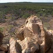
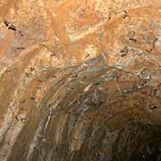
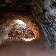
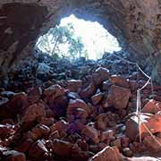
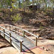
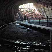
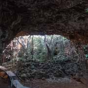
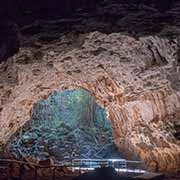
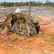
Near Mount Surprise is Undara Volcanic Park, one of Australia’s greatest geological wonders. It has the best-preserved and most extensive lava tube system on Earth. “Undara” is an Aboriginal word meaning “a long way”. Its story began some 190,000 years ago when it erupted, and the molten lava flowed into a nearby dry riverbed. The external lava quickly cooled and crusted, but a fiery flow snaked underneath, leaving a drained, hardened exterior to create long, dark, hollow tubes.
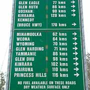
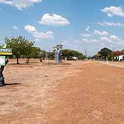
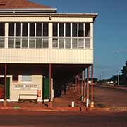
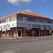
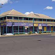
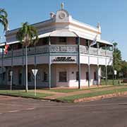
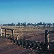
Continuing west for almost 365 kilometres on the Gulf Developmental Road from Mount Surprise via Georgetown, the town of Croydon is reached. In its heyday in 1890, it was a gold town with a population of 35,000. But by 1906, the gold had all but ran out. Its claim to fame is now that there is still a weekly train to Normanton, another 150 kilometres further west. The Gulflander railway line was built in 1907. Normanton started as a port on the river leading to the Gulf of Carpentaria in 1867, and it became prosperous when gold was discovered in Croydon. Today it is still a service and administration centre and the “Purple Pub” is a well-known landmark.
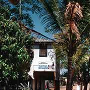
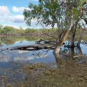
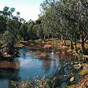
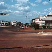
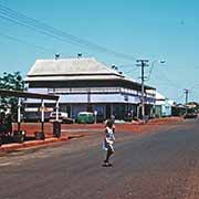
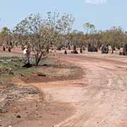
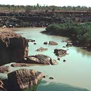
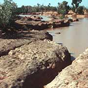
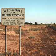
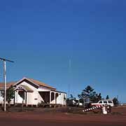
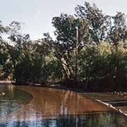
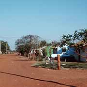
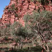
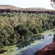
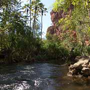
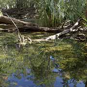
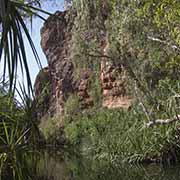
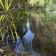
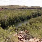
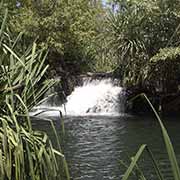
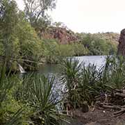
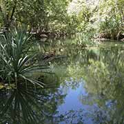
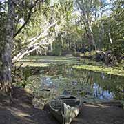
Almost 230 kilometres further west along a dirt road is Burketown, settled in 1865 as a real wild west town. The town is nowadays the centre of the cattle industry but still has a frontier feel about it. It is considered the Gateway to the Gulf, as from here fishing expeditions can be organised. About 90 kilometres further on, halfway to the Northern Territory border and on the Nicholson River, is Doomadgee, an Aboriginal community that started as a mission station of the Christian Brothers but is now self-governing. South of there, along a bumpy road about 100 west of Gregory Downs, on the border with the Northern Territory, is beautiful Boodjamulla or Lawn Hill National Park with its beautiful gorges, waterfalls and cool swimming holes, a veritable oasis in this otherwise arid landscape. The Waanyi Aboriginal people have strong cultural ties with the park.