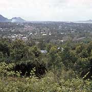
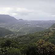
Photos of The interior of Réunion, Réunion

The interior of Réunion
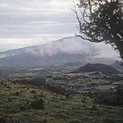
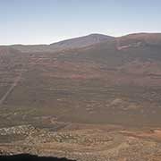
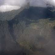
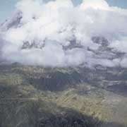
An inland road linking the coastal towns of Saint-Benoît and Saint-Pierre traverses the plains between the volcanic peaks of Réunion: the Plaine des Palmistes and Plaine de Cafres. From the Plaine des Palmistes, a road leads to a viewpoint into the gorge of the Rivière des Remparts and, further on, another viewpoint across the Commerson crater towards the highest point on the island, the Piton des Neiges (Peak of the Snows).
you may then send it as a postcard if you wish.
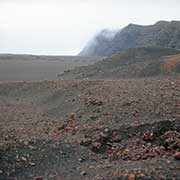

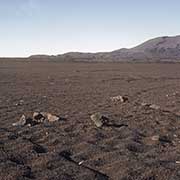
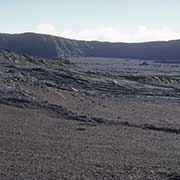
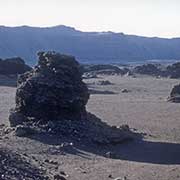
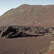
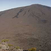
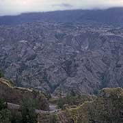
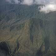
The road then leads into the Plaine des Sables, the Plain of the Sands, a lunar landscape with huge lava blocks, towards the Piton de la Fournaise (Peak of the Furnace), one of the world’s most active volcanoes. It is a shield volcano and has erupted regularly over the years
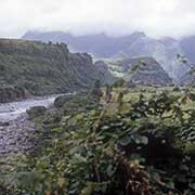
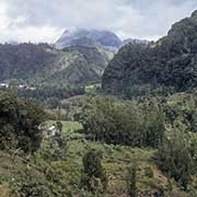
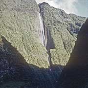
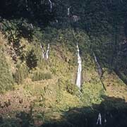
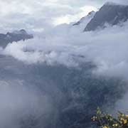
A road leads inland from the north-east coast of Réunion, along the Rivière du Mât, into the Cirque de Salazie, a volcanic caldera and a commune; its name is probably derived from the Malagasy word “salazy”, meaning “good encampment”, given by the first settlers from Madagascar in 1929. It is a spectacular journey with mountain scenery and high waterfalls.
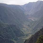
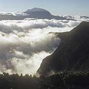
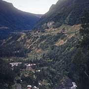
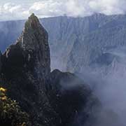
The Cirque de Mafate is the most remote of the three volcanic calderas formed from the collapse of the Piton des Neiges volcano. A spectacular view into the caldera is seen from the Belvédère du Maïdo, but there is no road into it: access is on foot or by helicopter. Mafate was settled in the 19th century by escaped slaves and later by poor whites (“Petits Blancs”). The name derives from the Malagasy word “Mahafaty”, meaning “deadly”, probably referring to the difficulty getting there. Because there are no roads, it is popular with hikers, who can stay in simple tourist accommodations.