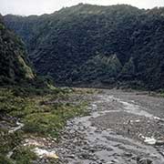
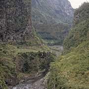
Photos of the Cirque de Cilaos, Réunion

The Cirque de Cilaos
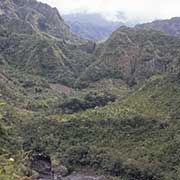
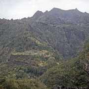
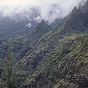
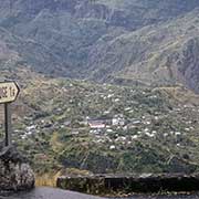
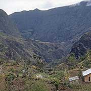
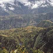
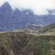
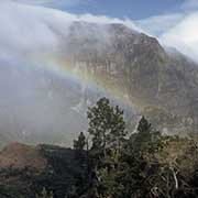
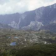
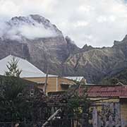
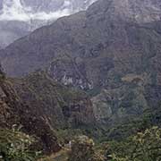
The caldera (“Cirque”) of Cilaos is one of the three calderas formed from the collapse of the large shield volcano, the 3,070-metre-high Piton des Neiges. It has a town, also called Cilaos, at an altitude of around 1,200 metres. Its name probably comes from the Malagasy word Tsilaosa (now spelled “tsy ilaozana”), which means “the place one does not abandon” and, according to some, was given by a runaway slave from Madagascar who had sought refuge here.
you may then send it as a postcard if you wish.
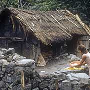
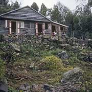
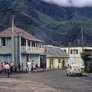
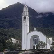
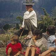
A settlement was started here only around 1850, and in 1900, there were about 2500 inhabitants. There are hot springs here, and a Catholic mission was established; the nuns taught the locals embroidery, which has been done here for over 100 years. The pretty church, Église Notre-Dame-des-Neiges de Cilaos, was built in 1932.
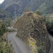
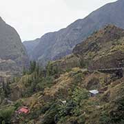
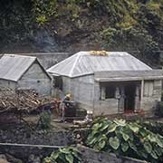
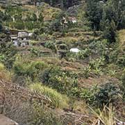
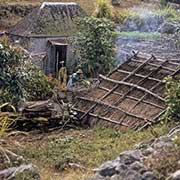
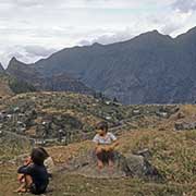
A tortuous but good bitumen road leads up from the coast, with spectacular views; farmhouses of “Petits Blanc” families are seen on the way. The village of Le Palmiste Rouge is below Cilaos, and a fantastic view of the town can be seen from Belvédère.