Photos of Eastern Norway, Norway


Eastern Norway
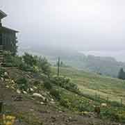
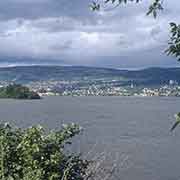
Eastern Norway, the geographical region of the south-eastern part of the country, is Norway’s most populous; it contains its capital, Oslo. In Norwegian, it is called Østlandet (in Bokmål) and Austlandet (in Nynorsk), “The east land”.
you may then send it as a postcard if you wish.
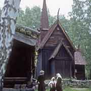
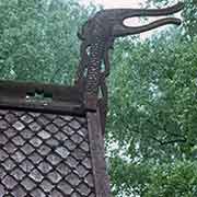
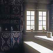
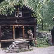
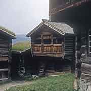
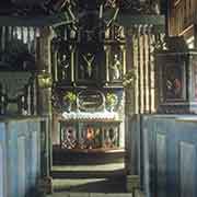
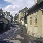
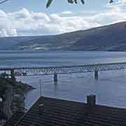
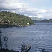
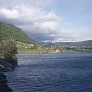
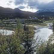
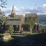
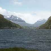
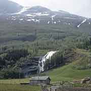
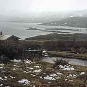
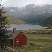
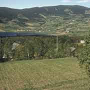
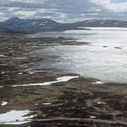
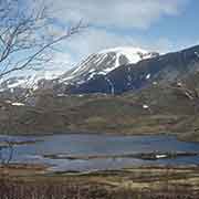
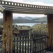
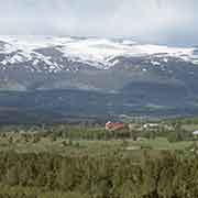
Lillehammer, along Lake Mjøsa, Norway’s largest lake, is about 170 kilometres north of Oslo. It boasts the open-air museum in Malhaugen, with close to 200 buildings and was founded by Anders Sandvig, who collected samples from old houses and farmyards. One hundred kilometres west of Lillehammer is another open-air museum, the Valdres Folkemuseum, in Fagernes, on Strondafjorden, a long fjord. Further north-west are more spectacular fjords and lakes and the Høre Stave Church in Ryfoss, initially built in the 12th century. There are high lakes, like on the Valdresflya Pass at 1389 metres above sea level.