Photos of Nepal east of Kathmandu


East of Kathmandu
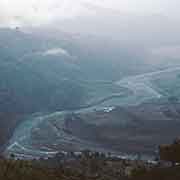
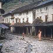
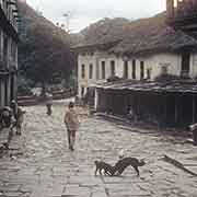
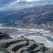
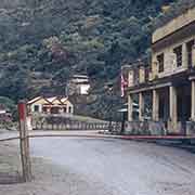
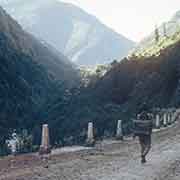
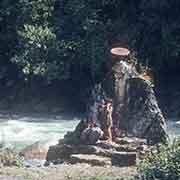
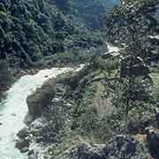
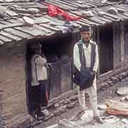
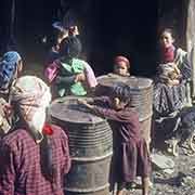
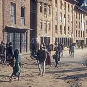
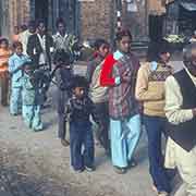
The village of Melamchi, with a mixed population, is on the path to Helambu further north; the road south follows the Indrawati River for about two-thirds of the way to the village of Panchkal, where it joins the Araniko Highway between Kathmandu and Kodari. Tatopani, on the way, means “Hot Water” and, indeed, has hot springs. It was also a trading post between Nepal and Tibet. The people living here are mainly ethnic Sherpa and Tamang. Kodari is on the border with Tibet, and here is the Nepalese border post; the Tibetan village of Dram (in Tibetan), Zhangmu (in Chinese), or Khasa (in Nepali) is visible from here. After the 2015 earthquake, it was closed because of significant damage to the road on the Tibetan side, and a new border crossing now exists at Rasuwagadhi, further west, to Gyirong.
you may then send it as a postcard if you wish.


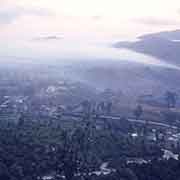
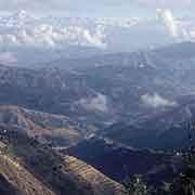
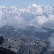

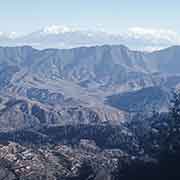
TThe Araniko Highway, on its way to Kathmandu, passes Dhulikhel, a town 1550 metres above sea level. It offers excellent views of the Himalayas, including Mount Everest. Dhulikhel was one of the dependencies of the old Bhaktapur Kingdom, 16 kilometres to the west, and was one of the last places conquered by the Gorkha, who eventually founded the Kingdom of Nepal.
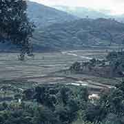
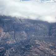
To the south of the hilly country and the Kathmandu Valley is the Terai, the lowland region of southern Nepal. At an altitude of between 67 and 300 metres above sea level, it has grasslands, scrub savannah, and swamps, a different landscape from the rest of Nepal.