Photos along Bass Strait and the South Gippsland Coast, Australia


Along Bass Strait and the South Gippsland Coast
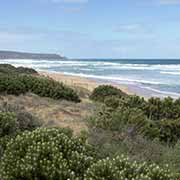
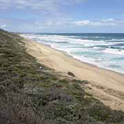
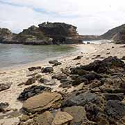
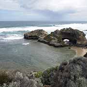
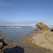
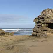
The Mornington Peninsula almost closes off Port Phillip Bay from Bass Strait south of Melbourne, the stretch of sea that divides the mainland from Tasmania. In 1803 Victoria’s first official European settlement was established in Sorrento, along the bay, close to the peninsula’s tip. Wide empty beaches face Bass Strait and London Bridge, a natural rock arch near Portsea.
you may then send it as a postcard if you wish.
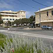
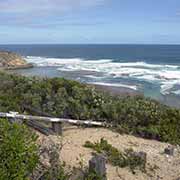
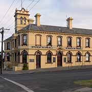
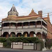
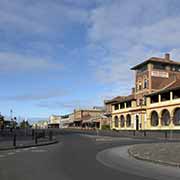
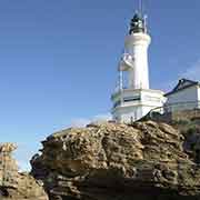
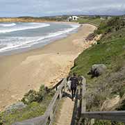
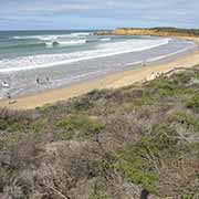
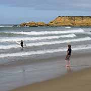
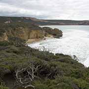
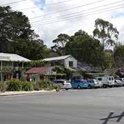
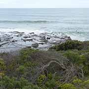
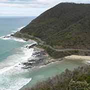


A ferry across The Rip (considered one of the world’s most dangerous seaways with over 200 shipwrecks) takes you from Sorrento to Queenscliff on Bellarine Peninsula. It has some impressive well preserved, old-fashioned hotels. Nearby Point Lonsdale has a still operational lighthouse, built-in 1902. Following the coast heading southwest, it takes you to Torquay on the Surf Coast, with its beaches offering world-class surfing and satisfying families with small children. Further on is Anglesey and touristy Lorne, with great coastal views from Teddy’s Lookout. From here to Apollo Bay, the road gets spectacular with expansive views along what is now called the Shipwreck Coast.
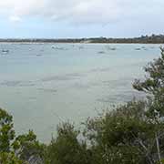
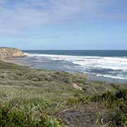
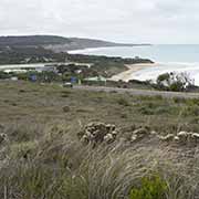
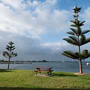
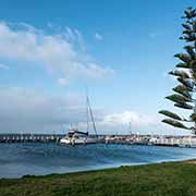
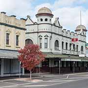
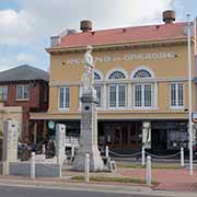
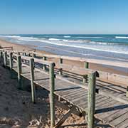
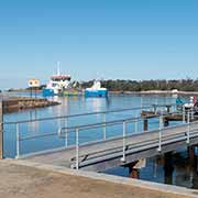
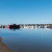
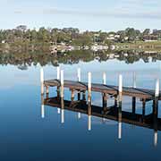
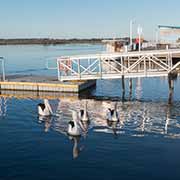
The Gippsland region is to the east of Melbourne, reaching the New South Wales border and encompassing beaches, farmland, mountains, and lakes. Port Albert, the first coastal town east of Wilsons Promontory, is the original Gateway to Gippsland and Victoria’s first established port. It was the supply port for Gippsland’s pioneers until the railway’s completion from Sale to Melbourne in 1878. Just north is Yarram, the regional centre of a prosperous farming district. Its name derives from an Aboriginal phrase “Yarram Yarram”, meaning “plenty of water”. The original inhabitants of this region were the Kurnai people who resisted the invasion of their lands and sustained heavy casualties as a result. Stretching to the east, along the coast, is the Ninety Mile Beach Marine National Park. On the edge of Ninety Mile Beach, Lakes Entrance has Australia’s largest inland network of waterways. Mallacoota, a small holiday and fishing town at the mouth of Mallacoota Inlet, is the easternmost town in Victoria, near the border with New South Wales.