Photos of travel in West-Papua


Travelling in West-Papua
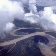
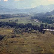
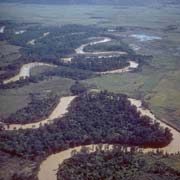
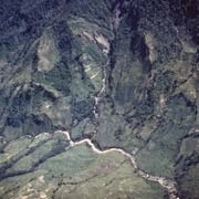
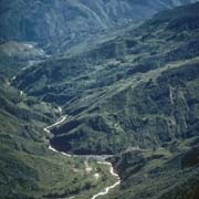
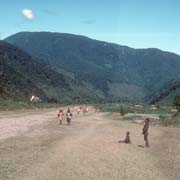
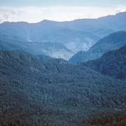
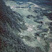
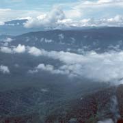
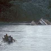
Roads are very few and far between in West Papua and transport across the region is therefore by plane and coastal shipping. Flying between the capital, Jayapura, and the Baliem Valley in the interior illustrates the sheer inaccessibility of the country, with mountains, impenetrable jungle and wide rivers lazily meandering through the landscape. The Taritatu (Idenburg) River, flowing west, is one of the longest.
you may then send it as a postcard if you wish.
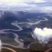
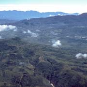
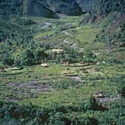
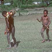
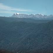
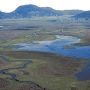
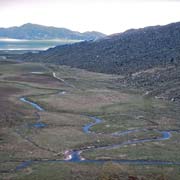
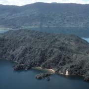
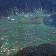
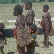
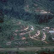
The Baliem river gives life to the Baliem Valley, home of the Dani people. Flying west from Wamena, following the Baliem, the next stop is the airstrip of Mulia, a settlement in the area west of Gunung Trikora (formerly Wilhelmina Top), a mountain of 4,750 metres, that can be reached from Wamena; further west is Papua's highest mountain, snow-clad Puncak Jaya (5,050 metres), formerly known as the Carstenz Toppen.Enarotali on the lakes, formerly known as the Wisselmeren, with its largest, Danau Paniai, is next, a beautiful and fertile region, the home of the Ekari (also known as Mee or Kapauku) people. Flying north to the coastal town of Nabire, another highland stop is Temeppa, also an Ekari settlement.
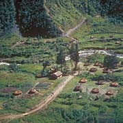
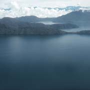
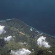
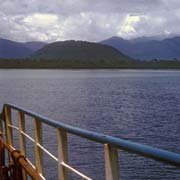
Nabire is on Teluk Cendrawasih, a large bay (Geelvink Baai in Dutch days) and due north are the islands of Yapen and Biak. Flying from Biak, west to Manokwari, one passes over Numfor, the scene of heavy fighting in the Second World War: the Japanese had built three airfields on the island; what has become known as the "Battle of Nomfoer" took place between 2 July and 31 August 1944 and resulted in capture by the Allies, with heavy losses. Now it is an unspoilt island, a great place for snorkelling over the reefs, swimming and bird watching.
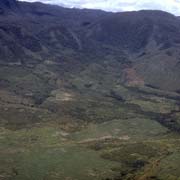
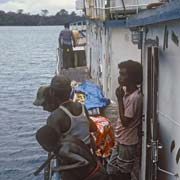
From Manokwari a ship sails to Sorong, along the top of Doberai or Bird's Head peninsula, Kepala Burung (Vogelkop), named for its shape on the map. There are coastal villages, like Kaironi, that get their supplies from those ships. This is an ecoregion, with unique bird species, the Arfak mountain range, almost 3,000 metres high, and forests; however, road construction, illegal logging and commercial agriculture threaten this unique region.