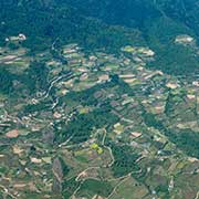
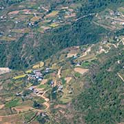
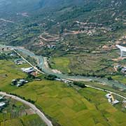
Photos of Paro, in western Bhutan


Paro, in western Bhutan
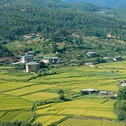
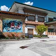
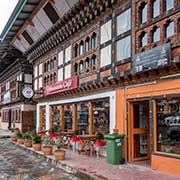
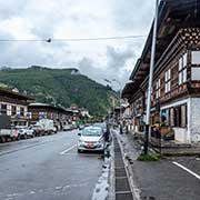
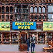
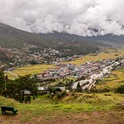
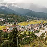
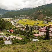
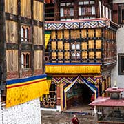
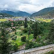
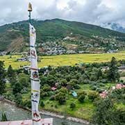
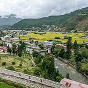
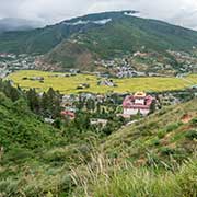
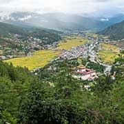
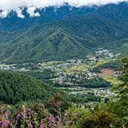
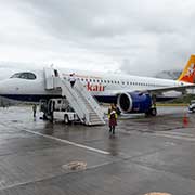
Bhutan’s International Airport is just south of Paro, deep in the valley of the Paro Chhu, at an altitude of 2,235 metres, surrounded by mountains as high as 5,500 metres. There are spectacular views from the plane approaching the airport. The terminal building is traditionally decorated with beautiful woodcarvings and paintwork. Paro’s main street has many buildings with traditional decorations and is a pleasant town.
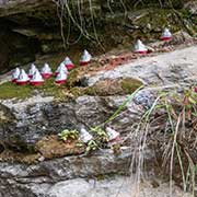
you may then send it as a postcard if you wish.
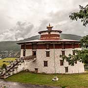
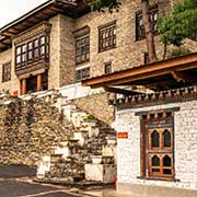
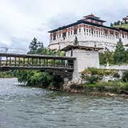
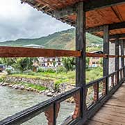
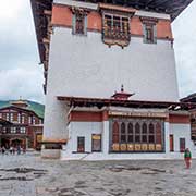
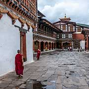
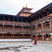
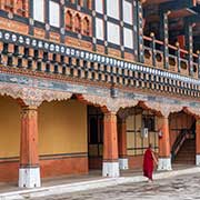
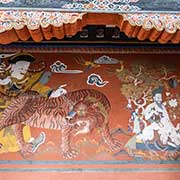
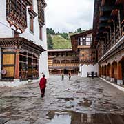
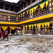
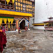
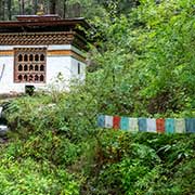
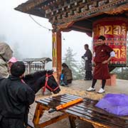
A 17th-century watchtower overlooking the valley now houses the National Museum of Bhutan, showcasing the country’s Cultural heritage. Directly below the watchtower is Paro Dzong, officially Rinpung Dzong, “Fortress of Heap of Jewels”, built in 1644; it is a large Buddhist monastery and fortress, housing the district Monastic Body and government administrative offices of Paro Dzongkhag (District). A traditional covered cantilever bridge spans the Paro Chhu, just below the Dzong. Like the monks’ quarters, beautiful wall paintings, woodcarvings, and paintwork on the buildings are superb.
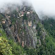
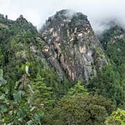
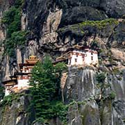
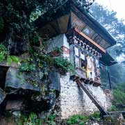
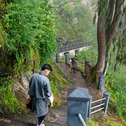
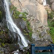
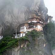
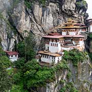
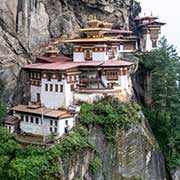
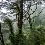
About 10 kilometres north of Paro town is the Paro Taktsang (Tiger’s Nest) Buddhist monastery and hermitage on a cliff above the upper Paro valley at an altitude of 3,120 metres. The steep hiking trail leads past a water-powered prayer wheel, set in motion by a flowing stream and, climbing through the forest, a large prayer wheel at about 2,900 metres. Nearby is a cafeteria and a viewpoint across the valley to the monastery. The trail through the forest and past cave chapels eventually gives excellent views of the monastery, but to reach it, steps first go down to a bridge past a 60-metre waterfall before the final climb to Tiger’s Nest.
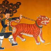
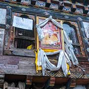
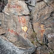
Paro Taktsang, Taktsang Palphug Monastery or Tiger’s Nest, is a sacred Vajrayana Himalayan Buddhist site built in 1692. It is at the cave where Guru Padmasambhava meditated and practised with students in the 9th century. He introduced Vajrayana Buddhism to Bhutan (then part of Tibet) and is the tutelary deity of the country. The monastery buildings consist of four main temples and residential shelters, with images of Bodhisattvas illuminated by butter lamps. There are steps and stairways carved into the rocks and balconies with views of the valley below. It has a long history of being occupied by monks as a hermitage.