Photos of 'Le Cap': Cap-Haïtien on Haiti’s north coast


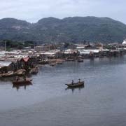
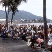
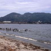
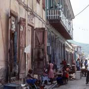
'Le Cap': Cap-Haïtien on Haiti’s north coast
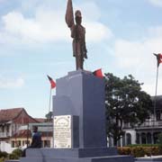
Cap-Haïtien or “Le Cap”, as it is often called, was founded in 1670 on the north coast of Haiti and today is a city of about 180,000 people and the capital of the Nord Department. Its local name in Kréyòl is "Kapayisyen" or "Okap".
you may then send it as a postcard if you wish.
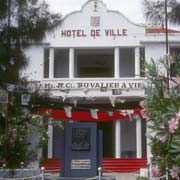
During the French colonial period, it was an important city and known as Cap-Français. Its name was changed to Cap-Henri when it became the capital of the short-lived Kingdom of Northern Haiti under King Henri Christophe.
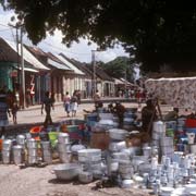
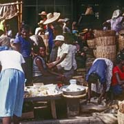
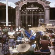
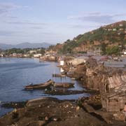
The city’s central area is between the Bay of Cap-Haïtien to the east and nearby mountains to the west. During the American occupation of the country from 1915 - 1934, central Cap-Haïtien’s north-south streets were, in American fashion, named as single letters (beginning with Rue A, a central avenue), and its east-west streets with numbers. There are markets, churches, and low-rise apartment buildings, many with balconies on the upper floors overlooking the narrow streets. French colonial architectural housing, shops and restaurants line the downtown streets, and the wide promenade along the bay offers lovely views and bracing sea air.
Cap-Haïtien is the gateway to the historic town of Milot with its Citadel, about 20 kilometres to the south west.