Photos of from Shigatse to Qomolangma National Nature Reserve, Tibet


From Shigatse to Qomolangma National Nature Reserve
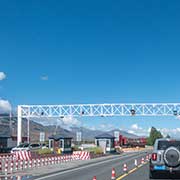
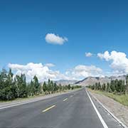
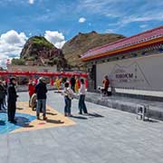
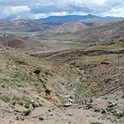
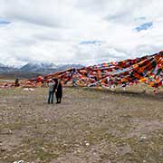
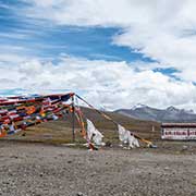
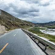
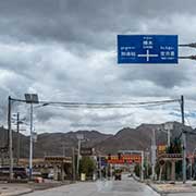
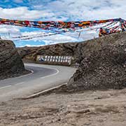
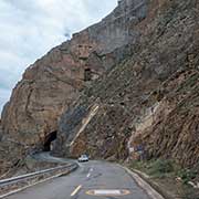
An excellent road, National Highway 318 (also named the Friendship Highway), leads west from Shigatse to Sa’Gya county and the town of Gêding and, 98 kilometres west of Shigatse in Lhatse county, to a memorial indicating one has reached a point 5,000 kilometres from Shanghai. The road rises to an altitude of over 4,000 metres above sea level, where it crosses the Peta Pass, with masses of prayer flags, as on every auspicious location. It is the gateway to Qomolangma National Nature Reserve. Qomolangma is the Tibetan name for Mount Everest.
you may then send it as a postcard if you wish.
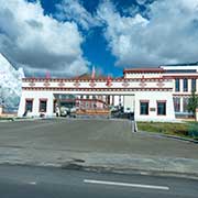
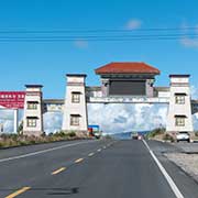
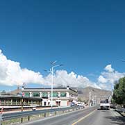
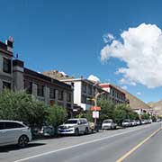

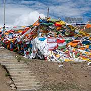
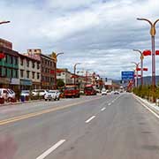

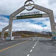
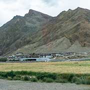
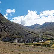
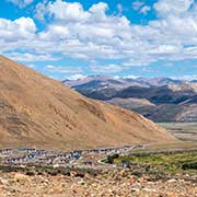
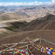
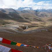

The new town of Quxar in Lhatse County is 150 kilometres west of Shigatse. Further on, an ornamental gate announces entering Qomolangma National Nature Reserve and the road rises to the Gyatso La Pass, at 5,255 metres above sea level, 180 kilometres west of Shigatse. Here too, masses of prayer flags and views to the snow-topped Himalayas.
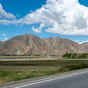
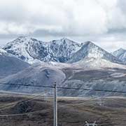
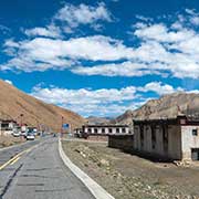
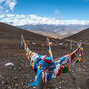
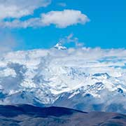
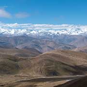
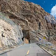
The road enters Tingri County and, passing the small town of Shelkar, a turnoff to the south leads to Guywula Pass at 5,206 metres above sea level, with prayer flags and spectacular mountain views. This road leads to the Everest Base Camp, at the foot of Qomolongma - Mount Everest, the highest mountain peak in the world.