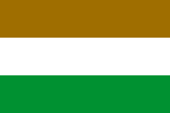
Transkei, 1966
The Great Kei River formed the eastern boundary of the Cape Province, north of which was the traditional territory of the Xhosa people, the Transkei, which received internal self-government in 1963. It was a reasonably large region between Lesotho and the Indian Ocean, with two small exclaves, Maluti and Umzimkulu, and its capital was Umtata (Mthatha). A flag - horizontal ochre-white-green - was adopted on 20 May 1966 and officially hoisted on South Africa’s) Republic Day, 31 May 1966. The red-ochre represents the colour of the soil or “Imbola” from which Xhosa huts are built. It is also the colour of traditional blankets; white denotes peace, and green represents Transkei’s rolling hills. On 26 October 1976, the Republic of Transkei was given independence, although no country apart from South Africa recognised it.
Click or tap here:


