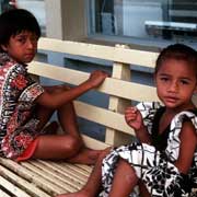
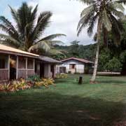
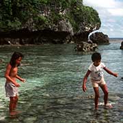
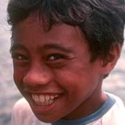
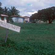
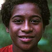
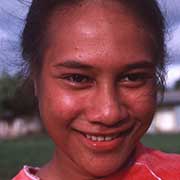
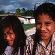
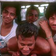
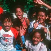
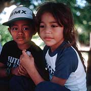
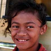
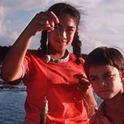
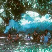
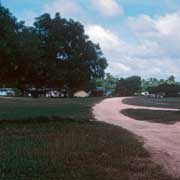
Photos of the island of Niue


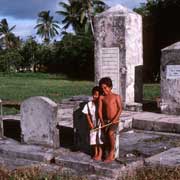
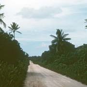
Around the island of Niue
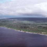
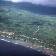
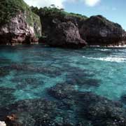
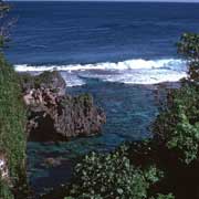
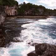
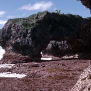
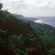
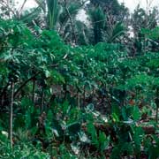
Niue is described as a "raised atoll" with steep limestone cliffs along the coast with a central plateau rising to about 60 metres above sea level. Most villages are along the coast.
you may then send it as a postcard if you wish.
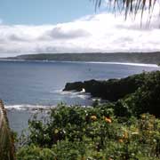
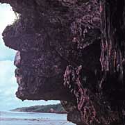
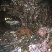
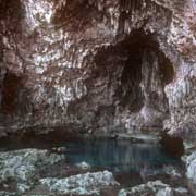
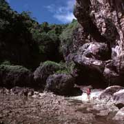
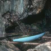
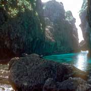
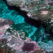

Going clockwise around the island, there is Avaiki Cave, named after the legendary Maori Polynesian homeland Avaiki (or Hawaiki) and was where Niue's first Maori settlers landed and an exclusive place for the ancient kings of Niue to bathe. Beyond that is Palaha Cave, 6 kilometres north of Alofi, one of the most spectacular caves in the South Pacific. There are crystal clear waters in coral pools near the village of Limu and the natural limestone Arches of Talava, a complex place of caves and arches carved out into the coral near the village of Hikutavake, about 12 kilometres from Alofi in the north west of the island with a population of 65 according to the census of 2001.
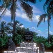
The village of Mutalau (with a population of 133 as of the 2001 census) was the first place on Niue where Christian missionaries were admitted and opposite the church is a monument commemorating the arrival, on 26 October 1846, of Nukai Peniamina, the first Niuean convert, and in 1849 the first Samoan teacher, Paulo. Its previous names were Ululauta and Matahefonua, both meaning "head of the land": is the most northern village on Niue. The road from here along the east coast runs between 500 metres and a kilometre from the coast through the villages of Lakepa and Liku. From both these villages a direct road leads through the interior of the island back to Alofi, about 15 kilometres away.
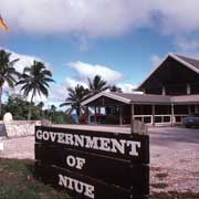
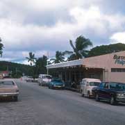
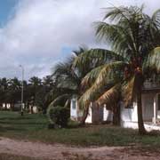
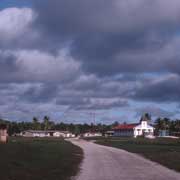
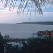
Alofi, Niue's capital, has a population of around 600 people, having the distinction of being the smallest national capital city in terms of population. It consists of the villages Alofi North and Alofi South, where the government headquarters are located. These are situated at the centre of Alofi Bay on the west coast of the island, close to the only break in the coral reef that surrounds Niue. The bay stretches for 30% of the island's length (about seven kilometres) from Halagigie Point in the south to Makapu Point in the north. Just south of Alofi is Opaahi Reef, where Captain Cook landed in June 1774. He was met by a hostile reception, being narrowly missed by a spear.
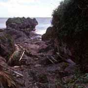
In January 2004, Niue was hit by the fierce tropical storm Cyclone Heta, which killed two people and did extensive damage to the entire island. Many of Alofi's buildings were destroyed, including the hospital. After this disaster government buildings were moved to Fonuakula, a less exposed site 3 kilometres inland from the west coast; this site is still within the village boundaries of Alofi South.
On the southwest coast of Niue is the village of Avatele, (formerly known as Oneonepata, Matavaihala), with a population of about 200, one of the first settlements on the island, following settlement by Polynesian voyagers from Samoa, Tonga and Pukapuka before the year 1300. It was the home village of Sir Robert Rex, Niue's first elected premier. Avatele Beach is the largest beach on the island and a popular swimming and picnic site. This was the site of Captain James Cook's third and final landing attempt in 1774 before naming Niue "Savage Island". Since then it has been the landing and official welcoming site of many prominent figures from across the Pacific and the world such as missionaries George Lawes, his brother Frank Lawes and former Governor-Generals of Niue and New Zealand.
The village was first Christianised in early 1854 when a resident, Muatoga, asked Paulo, the Samoan missionary residing in Mutalau, to bring the gospel to his village in the far-south and Paulo agreed. The village received its first pastor that same year, a Rev. Samuela from Western Samoa who was sent by Paulo to care for the young church at Avatele, that was then a village of over 1,000 residents. Further west is the abandoned village of Fatiau Tuai and Vaiea, with a population of only 62 according to the 2001 census. The next village is Hakapu (the last village to be converted to Christianity), from where an inland road leads back to Alofi, 12 kilometres away.
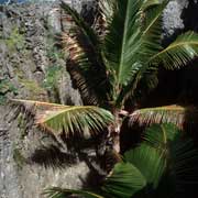
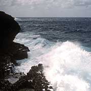
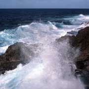
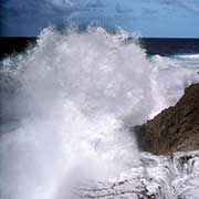
Five kilometres beyond Hakupu, at Togo Chasm (pronounced and sometimes written as Tongo) in the south east, a path leads to spectacular freshwater coral caves, fronted by coconut palms, a geological feature quite unique to Niue. Nearby the wild sea pounds on the coral outcrops of the rocky coast.