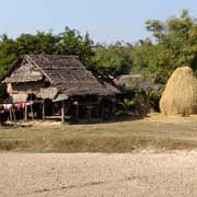
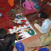
Photos of Kayin (Karen) State, Myanmar


Kayin (Karen) State
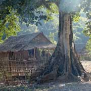
The region of present-day Kayin State has been part of different Burmese kingdoms, ever since the Bagan (Pagan) Empire was formed in the 11th century. The land was inhabited mainly by different groups of Karen people, an ethnic group speaking a Sino-Tibetan language, different from the Bamar or Burmese.
you may then send it as a postcard if you wish.
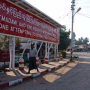


When British rule in Burma was coming to an end, the Karen demanded a separate state that would encompass parts of Mon State and Taninthayi (Tenasserim), regions where Karen people were predominant, as well. They wanted outright independence and refused to sign the Panglong Agreement, in which Burma would become a united state but with the freedom for ethnic minorities to choose their own destiny after 10 years. Although the constitution granted the Karen a state, it was smaller than was demanded and the Karen National Union (KNU) started a rebellion in 1949; it continues until today, and has seen numerous battles with refugees fleeing into Thailand, where many remain.
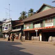
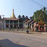
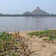
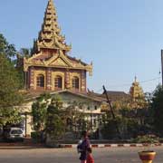
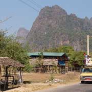
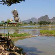
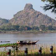
The military government changed the English name "Karen State" to the Burmese Kayin State in 1989, a process that saw name changes all over the country. The state has a total area of 30,380 km² and a population of almost 1.5 million. The state capital, Hpa-an lies along the Thanlwin (formerly Salween) River, a small town of around 50,000 people, mainly Mon, Bamar and Muslim: the red painted mosque stands in the centre of town. The Shweyinhmyaw Paya and monastery also occupy a prominent place.
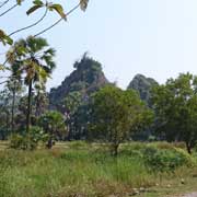
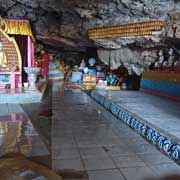
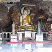
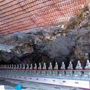
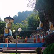
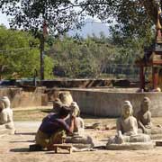
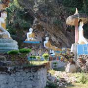
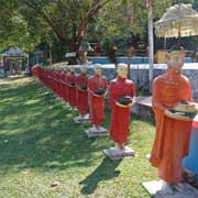
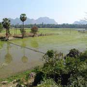
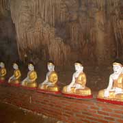
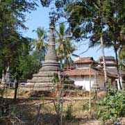
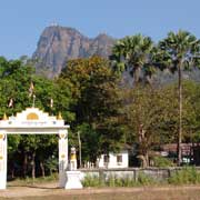
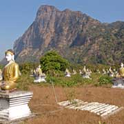
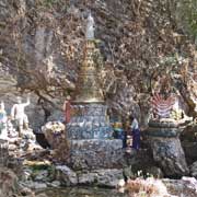
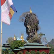
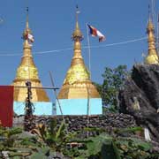
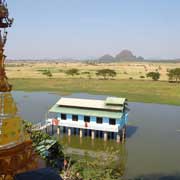
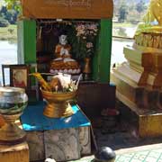
There are various places of interest around Hpa-an, like the Buddhist temple inside a cave at Kawka Thaung, near the village of Kawgun, a few kilometres from the town, with its many statues and thousands of miniature Buddha reliefs along the wall and roof of the cave. A long row of statues of monks with their begging bowls stand outside the cave temple. Mount Zwegabin, about 11 kilometres south of Hpa-an, has a mountaintop monastery and hundreds of Buddha statues in a field below it. The Water Lake Monastery at Kyauk Ka Lap is built in an artificial lake with great views of the countryside.