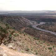
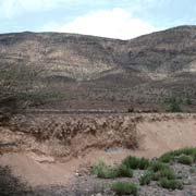
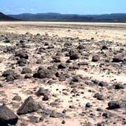
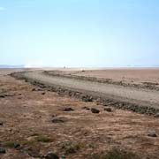
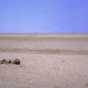
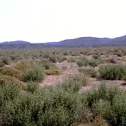
Photos of Ouhea to the south of Djibouti, Djibouti


Ouhea to the south of Djibouti
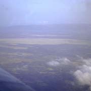
Djibouti is mainly a stony desert with scattered plateaus and highlands. There are a few small towns to the west and south of the capital. The village of Ouhea (or Oue'a), with around 6,000 people, lies just west on the road to the small town of Arta. A road branches off south towards Ali Sabieh, on the border with Ethiopia. Further to the southwest, across the desert at Grand Bara, is Dikhil, a town of 30,000 people in the country's south.
you may then send it as a postcard if you wish.
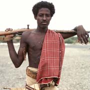
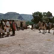
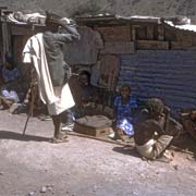
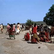
The Afar people, essentially nomadic pastoralists, live, apart from Djibouti, also in Eritrea and Ethiopia. The name "Danakil" refers to the northern Afars, while the southern group can be called "Adel". They call themselves "Qafár", and their language belongs to the Cushitic branch of the Afro-Asiatic language family. The men, many of whom seem to be armed, wear the "sanafil" (waistcloth) and a shawl around their torso, while married women wear a coloured "sanafil" and a black headscarf.
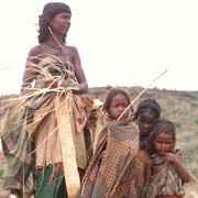
The Issa is a clan of "Soomaaliyeed", Somali people, the same people as in Somalia, northern Kenya, western Ethiopia (the Ogaden), and Djibouti. They also speak a Cushitic language and have a long and illustrious history, with several powerful Somali empires in existence in the Middle Ages. Many Somalis have argued for a united Pan-Somali state because the Somali lands were divided up by Great Britain, Italy, France, and Ethiopia, resulting in the present national boundaries.