Photos of the west coast of Western Australia, from North West Cape to the Pilbara


From North West Cape to the Pilbara
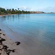
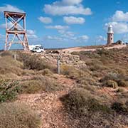
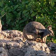
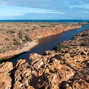
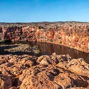
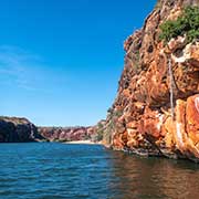
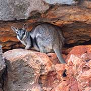
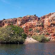
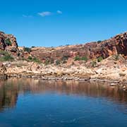
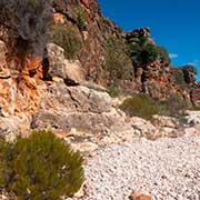
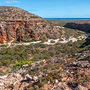
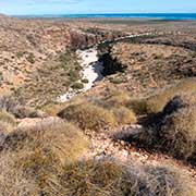
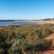
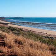
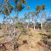
Coral Bay, about 1,200 kilometres north of Perth, is a popular tourist destination for wildlife tourism, like swimming with whales. Tours can also be organised from Exmouth, a small resort town on North West Cape: a gateway to Ningaloo Marine Park with its coral reefs, colourful fish and migratory whale sharks. From Exmouth, a road goes around the cape, south to Cape Range National Park. Yardie Creek, 87 kilometres by road from Exmouth, has excellent views from above and a “cruise” by boat through the gorge. Rock wallabies are common here. A more challenging hike can be done overlooking Mandu Mandu Gorge.
you may then send it as a postcard if you wish.

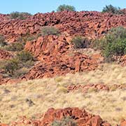
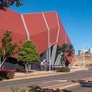
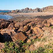
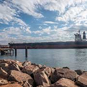
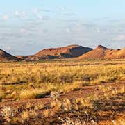
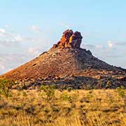
Dampier is a major industrial port in the Pilbara region in the northwest of Western Australia. Built by Hamersley Iron in 1965, it is the second-largest port in Australia. The Burrup peninsula nearby has rock formations and a high iron content - hence the red colour. It is part of Murujuga National Park, which has, among other things, Aboriginal petroglyphs and rock engravings estimated to be as old as 40,000 years. Adjoining Dampier is the city of Karratha, which was established in 1968 to accommodate the workforce of the Hamersley Iron mining company.
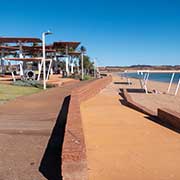
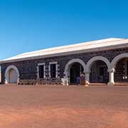
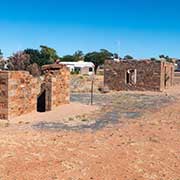
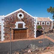
About 60 kilometres by road east of Karratha is Point Samson, a popular holiday location, and nearby, south of there, is the historic ghost town of Cossack. Formerly known as Tien Tsin (after the barque that carried the first settlers here in 1863), it was the first port in the North West. It was a centre of the pastoral industry and pearling, but it declined as the harbour was too shallow, and the town was abandoned in the 1950s. Some of its stone buildings have been restored, and Cossack was declared a museum town.
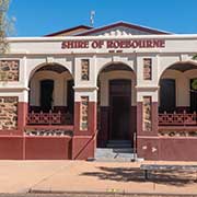
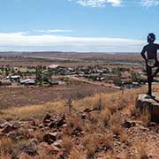
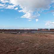
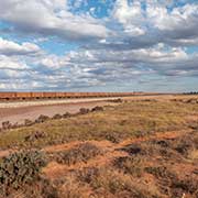
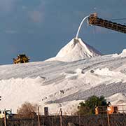
Like Cossack, Roebourne, 14 kilometres south, is on the traditional lands of the Ngarluma people. Mount Welcome, overlooking the town, has six statues representing the six tribes who are the immediate neighbours of the local Ngarluma people. And 195 kilometres further northeast is Port Hedland, the highest tonnage port in Australia and the world’s largest bulk export port, shipping the iron ore being mined in the ranges located inland from the town. It is transported to the port trains with 268 cars, up to 2.89 kilometres long, with each wagon carrying up to 138 tonnes. Port Hedland is also home to one of the sites of the Dampier Salt operation, where seawater is concentrated through evaporation, and the resulting salt is harvested, washed, and transported to the port.