Photos of the Northeast of Western Australia, Australia


The Northeast of Western Australia
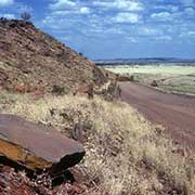
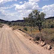
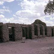
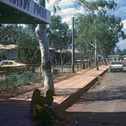
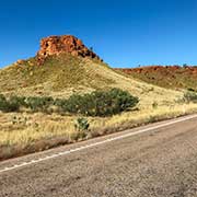
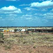
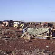
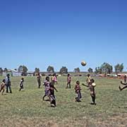
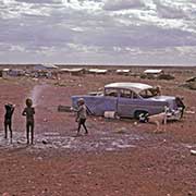
The Duncan Road (formerly Duncan Highway) runs from the Northern Territory border at Nicholson to Halls Creek, which links up with the Great Northern Highway. Old Halls Creek grew up after gold was discovered here in 1885. A gold rush by about 10,000 prospective miners ensued, but this didn’t last long; the old place is now crumbling away, 15 kilometres from the present town serving the region’s cattle stations. Halls Creek moved 12 kilometres west from its original location in 1949, and the current town is home to the indigenous Jaru and Kija peoples and some Tjurabalan peoples from the desert to its south. They represent over 60% of the town’s population.
you may then send it as a postcard if you wish.
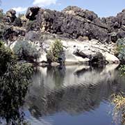

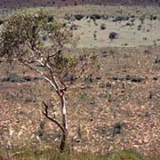
The Fitzroy River region in southern Kimberley was occupied by white settlers after 1880 to start cattle stations there. This was fiercely resisted by the local Bunuba Aboriginal people, who would spear the pastoralists’ stock and didn’t want to work for the invaders. Jandamarra, or “Pigeon”, as he was known to the whites, led his people in guerilla warfare against the invaders until he was shot by one of his own people who worked for the white police.
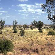
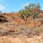
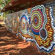
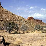
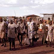
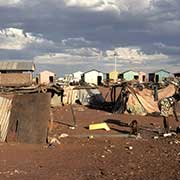
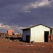
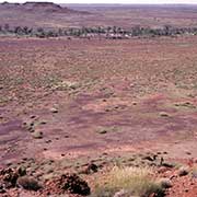
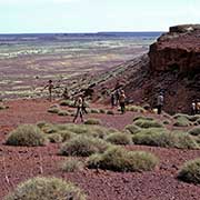
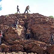
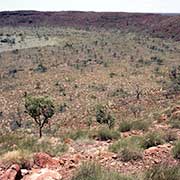
Balgo, formerly known as Balgo Hills, in the dry and remote outback of Western Australia, is a former Catholic mission set among hills and spinifex grass on the edge of the Great Sandy Desert. The about 400 speakers of the Kukatja language are still very traditional and are related to people living on cattle stations towards the border with the Northern Territory. It now has a thriving artists’ cooperative. About 100 kilometres north of Balgo and 145 kilometres south of Halls Creek is Wolfe Creek Meteorite Crater, 850 metres in diameter and 50 metres deep, one of the world’s largest. It was formed more than a million years ago when a giant meteorite fell to earth here. In Aboriginal mythology, it is associated with “Ngarrinti”, fly-dreaming. Native trees now grow in the well-preserved circular crater.