Eastern Turkey, former Armenian lands

Main street, Doğubayazıt

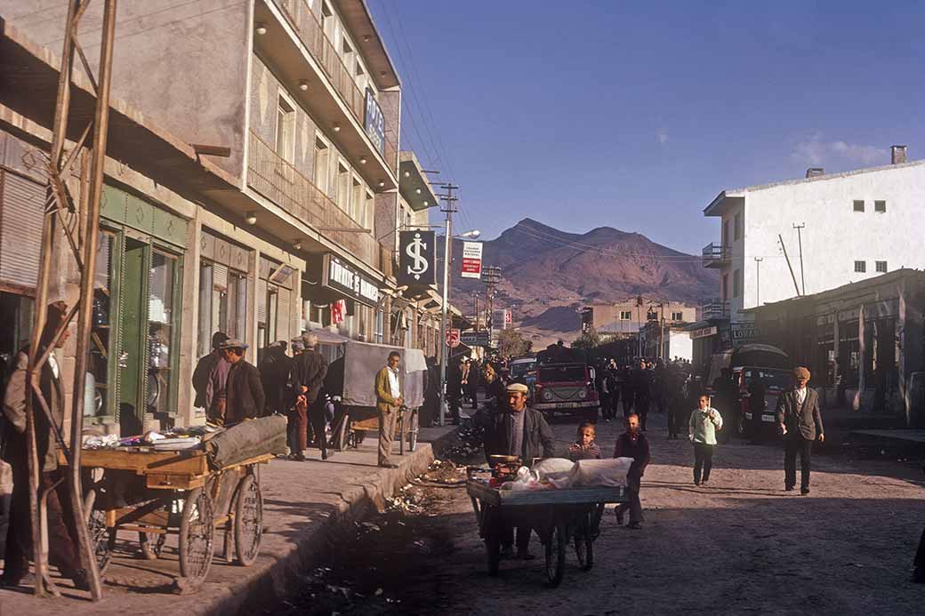
The main street in Doğubayazıt, 100 kilometres east of Ağrı, near the Iranian and Armenian border. It is Turkey's most eastern district, at an elevation of 1625 metres.

Photo by Ludo Kuipers, Fri Oct 12, 1973
Back
To send this Photo as a Postcard:
Click or tap here:
Postcard
Postcard
 
To send this photo as a Postcard, fill in the boxes:
Main street, Doğubayazıt Your name:
Your e-mail address:
Who to send it to?
Their e-mail address:
Type a Heading;
their name appears here:

(you may type over this)
Type your Message here:
Sign your card;
your name appears here:

(you may type over this)
Preview your Postcard, Start again or Cancel:
CANCEL

To send this photo as a Postcard, fill in the boxes below:

Main street, Doğubayazıt What is your name?
What is your e-mail address?
Who you want to send it to?
What is their e-mail address?
Type a Heading (Their name automatically appears here):
(you may type over this)
Type your Message here:
Sign your Postcard: (Your name automatically appears here)
(you may type over this)
Preview your Postcard, Start again or Cancel:
CANCEL