Photos of New South Wales - The Southeast, Australia


New South Wales - The Southeast
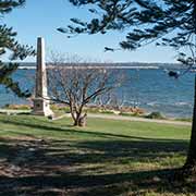
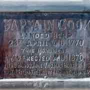
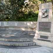
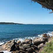
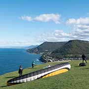
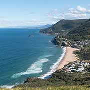
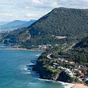
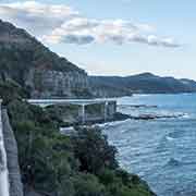
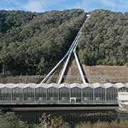
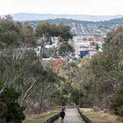
South of Sydney, across Botany Bay in Kurnell, is Captain Cook’s Landing Place. Here Captain James Cook and his crew landed on 28 April 1770 whilst navigating up the East Coast of Australia on the “Endeavour”: the first European contact with the original inhabitants of the area, the Gweagal people. South of here, after a 44-kilometre ride between the Heathcote and Royal National Parks, is the Sydney Hang Gliding Centre on Bald Hill, at Stanwell Tops. This hill, overlooking the Pacific coast, is internationally known as a major hang-gliding point. The iconic Sea Cliff Bridge is nearby; it extends along the Grand Pacific Drive, a scenic coastal drive.
you may then send it as a postcard if you wish.
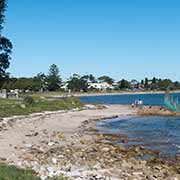
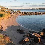
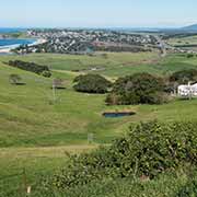
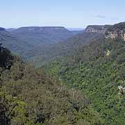
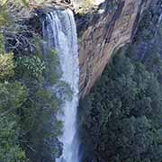
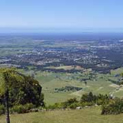
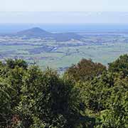
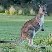
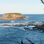
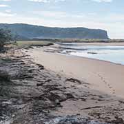

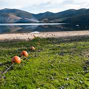
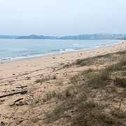
Lake Illawarra, a large coastal lagoon, is about 50 kilometres further south, just past the city of Wollongong. About 40 kilometres to the west is the Yarrunga Valley with its 81-metre high Fitzroy Falls, and south of there is the Cambewarra Range Nature Reserve. There is an excellent view towards the coast from the Cambewarra Mountain Lookout, a panorama of the Shoalhaven area with Bomaderry, Nowra and Coolangatta Mountain. The white beach at Callala Bay, 20 kilometres southeast of Nowra, is situated on the northern shore of Jervis Bay. Following the Princes Highway, 69 kilometres south of Nowra, is the town of Ulladulla, still in the Shoalhaven area. Fifty kilometres further is Murramarang National Park, 22 kilometres northeast of Batemans Bay. It has wide beaches, rock pools, headlands and wildlife.
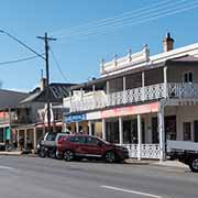
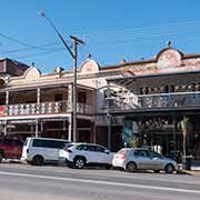
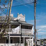
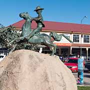
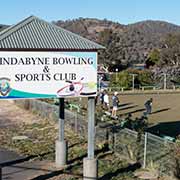
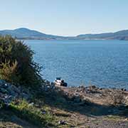
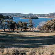
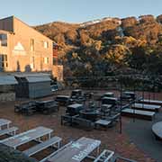
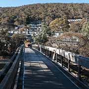
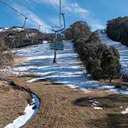
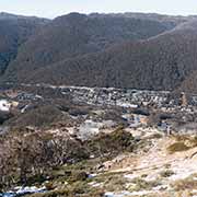
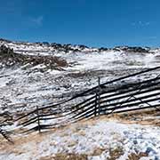
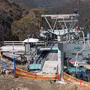
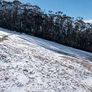
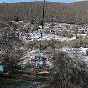
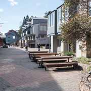
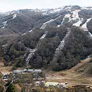
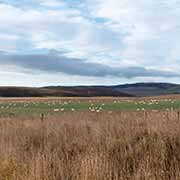
The Kings Highway from Batemans Bay, leading to the national capital of Canberra, passes the town of Braidwood in the Queanbeyan-Palerang Region about halfway. It has charming colonial buildings and is a National Trust-classified town: the first to be listed on the NSW State Heritage register. Heading south, on the Cooma Road, the Snowy Mountain Region is reached. The village of Numeralla, 21 kilometres east of Cooma, is on the banks of the Numeralla River. It was settled in the 1860s and proclaimed as a village in 1885. Cooma, 114 kilometres south of Canberra, is the main town of the Monaro region. It is 800 metres above sea level and calls itself the “Gateway to the Snowy Mountains”. The Kosciuszko Road leads 64 Kilometres west from Cooma to Jindabyne, a popular holiday destination year-round, especially in winter. Lake Jindabyne is the result of the damming of the Snowy River. The road continues as the Alpine Way for 35 kilometres to Thredbo, an alpine village and ski resort in the Snowy Mountains. Chairlifts are going up the mountain; the Kosciuszko Express terminates at Eagle Nest, 1,930 metres above sea level. From there, the Kosciuszko Walk trail leads to Mount Kosciuszko, mainland Australia’s tallest mountain at 2,228 metres above sea level.
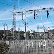
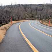
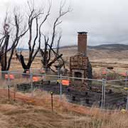
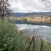
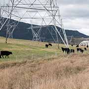
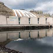
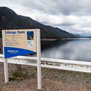
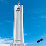
The Alpine Way continues to Khancoban, the site of the Murray 1 Power Station, one of seven hydroelectric power stations. It is part of the Snowy Mountains Scheme, a vast hydroelectricity and irrigation complex constructed between 1949 and 1974 and now run by Snowy Hydro. The Snowy Mountains Highway, in Kosciuszko National Park, leads north to Cabranarra and Kiandra, an abandoned gold mining town; the ruins can still be seen. The small town of Talbingo is further on, with the Snowy Hydro Tumut 3 Power station and the Talbingo Dam, the head storage for the operation of this power station. Albury on the border with Victoria is on the northern bank of the Murray River. The city of Wodonga, on the other bank, is nowadays almost continuous with it: Albury-Wodonga. It is the traditional land of the Wiradjuri people. The War Memorial on Monument Hill can be seen from many parts of this significant regional city.
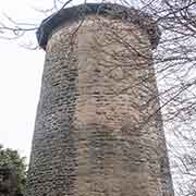
From Cooma, the Monaro Highway leads south to the small town of Nimmitabel, with its landmark, the Old Mill. It was built as a windmill to make flour, but as the shadows of the mill fans would frighten the horses, he removed the wings, and since 1885 it hasn’t been used. From here, a 126-kilometre drive to the southeast ends at Eden on the Sapphire Coast, the southernmost town in New South Wales. It was the homeland of the Thaua (Thawa) people before European settlement. From here, it is 47 kilometres to the border with Victoria.