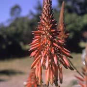
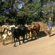
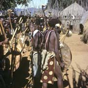
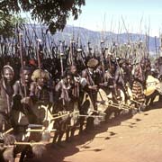
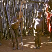
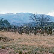
Photos of Hhohho District, Swaziland's North


Hhohho District, Swaziland's North
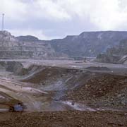
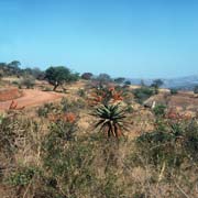
The Hhohho District covers the north western part of Swaziland. Driving to the north west from Mbabane, along the road leading to Piggs Peak and not far from the turn off at Motjane, is Ngwenya iron mine, considered to be the world's oldest. The hematite ore deposit was used in the Middle Stone Age to extract red ochre, while in later times the deposit was mined for iron smelting and iron ore export. Open pit mining took place between 1964 and 1977 with a railway leading to Mozambique, for export.
you may then send it as a postcard if you wish.
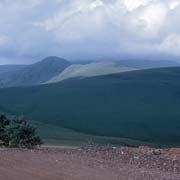
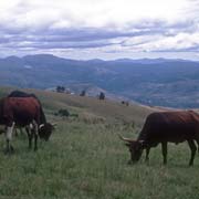
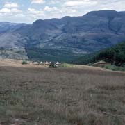
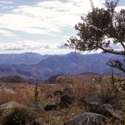
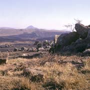
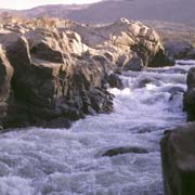
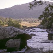
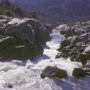
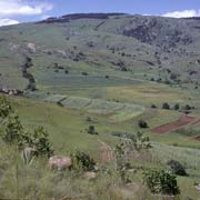

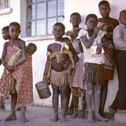
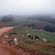
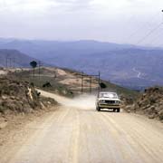

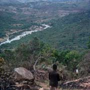
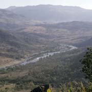
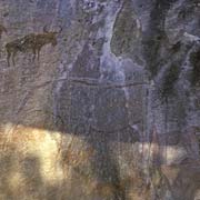
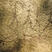
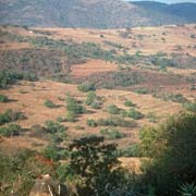

The mountain range in the west, along the South African border near Nkaba is called Ntababomvu (meaning Black Mountain). The scenic road through this mountainous area with farms crosses the Komati river, the largest river in Swaziland. There are large boulders and numerous rapids here. A good view over the Komati valley can be had at Nsangweni, near Nginamadvolo, about 13 kilometres along a dirt track south of Piggs Peak. Just a short walk from the small homestead of Nsangweni is a gallery of Bushman paintings, depicting mainly hunting scenes. These date from well over a century ago when the country was inhabited by San (Bushmen) people, who were later displaced by the Nguni people, including the ancestors of today's Swazi. There are quite a few of these sites in Swaziland.
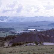
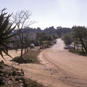
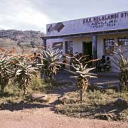
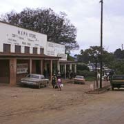
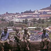
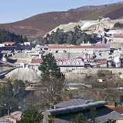
The small town of Piggs Peak is the main town of the region. It derived its name from a white settler, William Pigg, who intended to exploit gold deposits during the 1880s. He settled approximately 15 kilometres from the highest point in Swaziland, the Bulembu Mountain Peak, which was then commonly referred to as "Pigg's Peak". The town is the centre of Peak Timbers, a large forest plantation with its sawmills; however, it closed down in 2011 after disastrous fires destroyed plantations. A side road leads 19 kilometres west to the town of Bulembu (formerly Emlembe), the site of the Havelock Asbestos Mine from where the ore was transported by cable car to Barberton, across the border in South Africa. Mining ceased in 2001 and in 2006 Bulembu Ministries Swaziland bought the town; it now aims to be a self-sustaining community caring for 2,000 orphans caused by the AIDS epidemic.
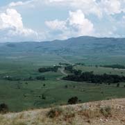
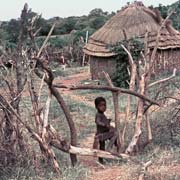
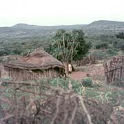
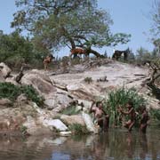
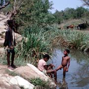
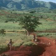
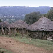
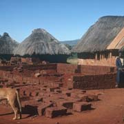
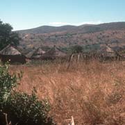
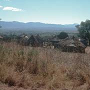
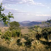
From Piggs Peak the scenic road continues, past homesteads like Ntonjeni and Mvembili, to the village of Hhohho (that gave its name to the whole district) and Mashobeni, a homestead in the far north, on the South African border. Just south of Hhohho village is the crossing of the narrow Lomati river, a quiet, scenic spot, popular as a swimming hole for the local kids. Another road leads south east past Herefords to Balegane; a side road, not far from there leads back to Piggs Peak, via Ndingeni. Another minor road, north from there, goes back to the Peak Timbers plantations via Jacks; the European names are reminders of white farmers who settled here in the past.