Photos of Selenge Province, Mongolia

Selenge Province
Selenge aimag, named after the Selenge river, is in the north of the country, due north of Ulaanbaatar; the railway line from the capital enters Russia here, linking up with the Trans-Siberian Railway. Selenge has an area of 41,153 km² and a population of around 95,000.
you may then send it as a postcard if you wish.
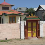
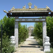
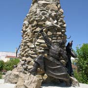
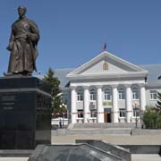
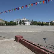
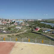
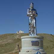
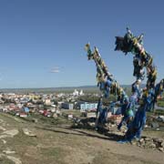
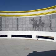
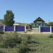
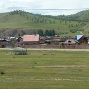
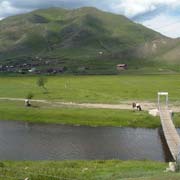
TThe province has good fertile soil and has farms where wheat and fruit are grown. The largest town is Darkhan, although that city has its own small aimag and is not part of the province. Selenge’s provincial capital is Sükhbaatar, named after the hero of Mongolia’s independence. His statue stands in front of the Governor’s building on the town’s main square that bears his name. There is a monastery and its temple, Khutagt Ekh Datsan, a small park and a hill just north of town with a silver statue of Abika Khulan, an empress of Genghis Khan and head of his second Court. It offers a great view of the town and the river. On top of the hill is a large memorial celebrating Mongolia and a shamanistic pole with many blue khadag, ceremonial silk scarves.
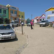
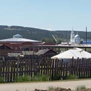
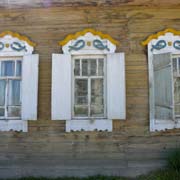
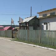
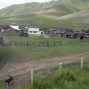
About 24 kilometres to the northeast of Sükhbaatar is the small town of Altanbulag, on the border with the Buryat Republic of Russia. The large orthodox church of Kyakhta, across the border, is clearly visible. In Altanbulag itself are still some old wooden houses in Siberian-Russian style, reminders of a shared history.