Photos of The Great Ocean Road, Victoria, Australia


The Great Ocean Road, Victoria
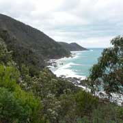
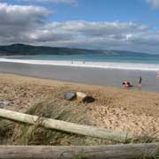
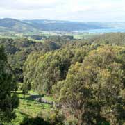
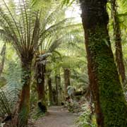
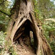
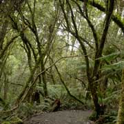
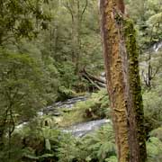
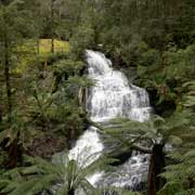
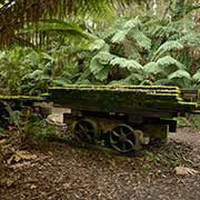
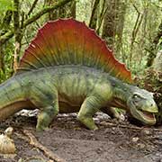
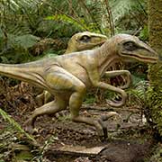
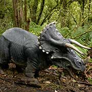
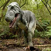
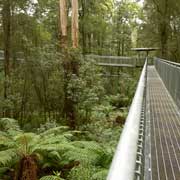
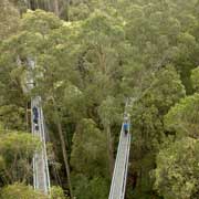
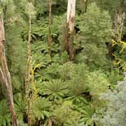
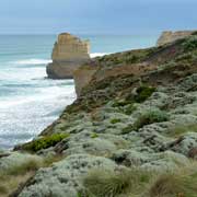
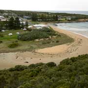
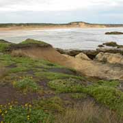
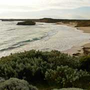
The "Shipwreck Coast" is certainly spectacular on the way towards Apollo Bay, with lookout points like those at Mount Defiance and Cape Patton. Apollo Bay is a very pretty town with great beaches. From there the road winds inland, skirting Otway National Park with its rainforests: Maits Rest Rainforest Walk is a worthwhile change from the coastal scenery. The road reaches the coast again at Glenaire and then again moves inland, to the former timber town of Lavers Hill. Nearby, about 5 kilometres from the village of Beech Forest, is Otway Fly, an elevated steel walkway along the forest canopy with fine views from a lookout tower. A walking track, Prehistoric Path, along (almost) life-size models of dinosaurs is there as well. Continuing along a dirt track from here is Triplet Falls, in thick rainforest; there are still reminders of the logging days with old timber trains, still laden with moss-covered logs.
you may then send it as a postcard if you wish.
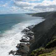

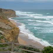
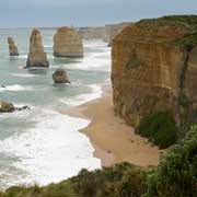
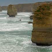
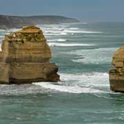
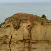
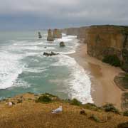
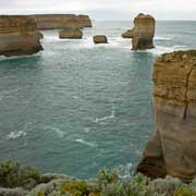
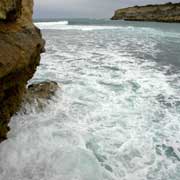
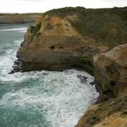
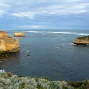
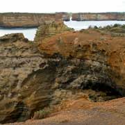

Back on the coast further west, the Great Ocean Road reaches Port Campbell National Park. This is the most famous stretch of the road, and soon, beyond Princetown, the sheer limestone cliffs and freestanding rock stacks, carved by the fierce seas, can be seen. Gibson Steps were carved by hand in the 19th century, leading to the beach below; and further on the famed "Twelve Apostles", the spectacular rock stacks of Port Campbell National Park, created by constant erosion of the limestone cliffs of the mainland that began 10–20 million years ago. The stormy Southern Ocean and blasting winds gradually eroded the softer limestone, forming caves that eventually became arches and when these collapsed, rock stacks up to 45 metres high were left isolated from the shore. They were originally called the "Sow and Piglets" but the name was changed in the 1950s, although there were only nine large rock stacks; meanwhile, two have since been eroded away by the seas.
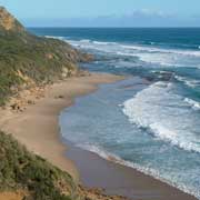
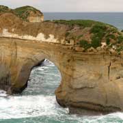
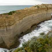
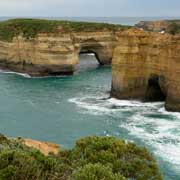
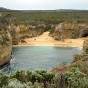
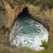
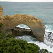
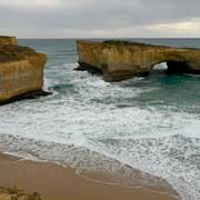
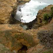
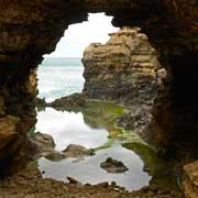
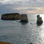
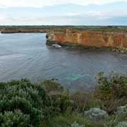
The coast between Cape Otway and Port Fairy was very treacherous for sailing ships and the many vessels that were wrecked here have given rise to the label "Shipwreck Coast". The most notorious and tragic case was that of the Loch Ard, an iron-hulled clipper that, on the very last night of its voyage from England was wrecked on the cliffs in 1878. Only two people survived. Loch Ard Gorge is the place where this happened; spectacular rock formations abound here, great to look at but fatal for 19th Century ships. Further along is the village of Port Campbell along its bay and The Arch, another natural archway, carved out by the sea. Nearby is London Bridge, once a double-arched rock platform; in 1990 the arch nearest the coast suddenly collapsed, leaving two tourists stranded on what now was an island. A helicopter was employed to rescue them. Further on is The Grotto, another arch and then, beyond Peterborough, the Bay of Islands: fantastic views to the rocky islands offshore, a wonderful finale of the Great Ocean Road. However, it is also a place of tragedy: Middens around Massacre Bay (just to the west of Peterborough) are testimony to the presence of the Kirrae Whurrong Aboriginal people, who lived here in the 19th century. The place names - Massacre Bay, Massacre Point, Bay of Martyrs - refer to a the events when Europeans killed a large group of Kirrae-Whurrong Aboriginal men by driving them off the cliffs in this area. Their women and children were allegedly killed in a nearby swamp. The local Aboriginal population dropped from a couple of thousand to virtually nil at some point as a result, the survivors dispersed to various missions around Victoria "for their protection, education, and integration".