Photos of North Western Arnhem Land, Australia


North Western Arnhem Land
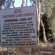
Arnhem Land, named after a Dutch ship that was itself named after a Dutch town, is a large Aboriginal Reserve in the far north of the Northern Territory of Australia. It is all Aboriginal land, and outsiders may only visit it with permission of the Aboriginal owners, as is clearly stated at the border with Kakadu National Park.
you may then send it as a postcard if you wish.
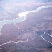
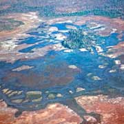
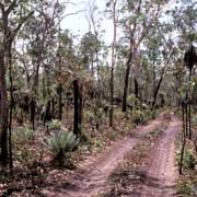
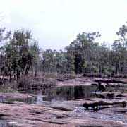
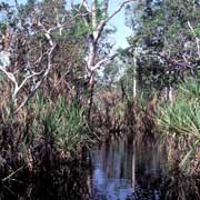
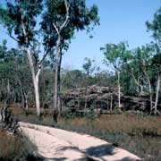
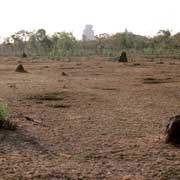
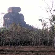
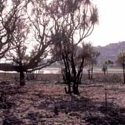
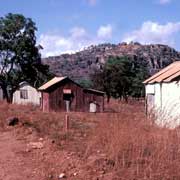
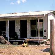
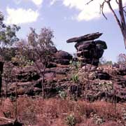
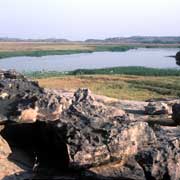
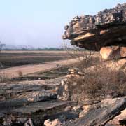
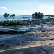
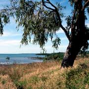
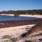
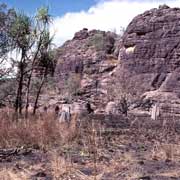
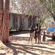
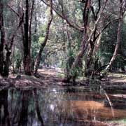
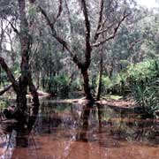
It is a vast, wild land with breathtaking scenery and long, sandy roads, dusty in the Dry and impassable in the wet season. There are small remote Aboriginal “Homeland Centres” where people have returned to live on their ancestral land. However, houses are now built, and there is a water bore, often a generator, solar-powered satellite telephone and even an airstrip! Total isolation is a thing of the past, even in this vast and empty land.
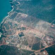
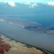
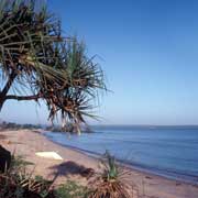
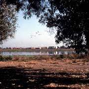
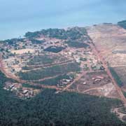
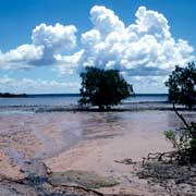
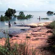
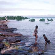
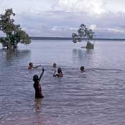
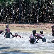
The photos on this page were all taken in the northwest of Arnhem Land, going from the South Alligator River Crossing to Kunbarllanjnja, spelled in the local Kunwinjku (Gunwinggu) language, an Aboriginal community, also known as Gunbalanya or Oenpelli. From there, we are heading east to the large community of Maningrida, approximately 360 kilometres east of Darwin by air and 270 kilometres west of Nhulunbuy (Gove), at the mouth of the Liverpool River on the Arafura Sea coast. At least ten languages are spoken here, and the local school had bilingual programs for two of those: Ndjébbana, the language of the Kunabidji (Gunavidji) people, whose ancestral lands are here, and Burarra, a language of people whose origins are further east, near Milingimbi, but who have made their home here as well.
Maningrida started as a trading post, established in 1947 at Manayingkarírra on Kunabidji land. In May 1957, it became a “Government Welfare Settlement”, and the “Balanda” (whites) who had trouble pronouncing the name called it Maningrida. In 1972 the Homeland Centre Movement started when people returned to their ancestral lands: they lived in small clan groups rather than in a large community, where tensions might arise.
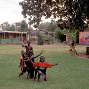
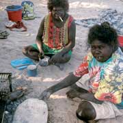
This is a land where traditional life is paramount, and ceremonies are an important part of life. Maningrida is now, as all Aboriginal communities in the Northern Territory, administered by its own Council. More than 12 Homeland Centres, where clans have returned to live on their ancestral lands, are around Maningrida. Most of these Homelands have a few houses, satellite telephones and a small school where assistant teachers teach children with regular visits by qualified teachers (using four-wheel-drive vehicles and sometimes even small aircraft) from Maningrida. There are more than 200 children in the homeland schools, but these numbers fluctuate with the ceremonial and seasonal cycles of the year.